Hip Hip Ouray!
We love Ouray, Colorado!!
It is pronounced “you-ray;” self-proclaimed Jeep capital of the World and Little Switzerland because of the towering jagged snow-covered mountain peaks.
Day 1 Saturday:
We arrived into town after lunch and wasted no time hitting the trails.
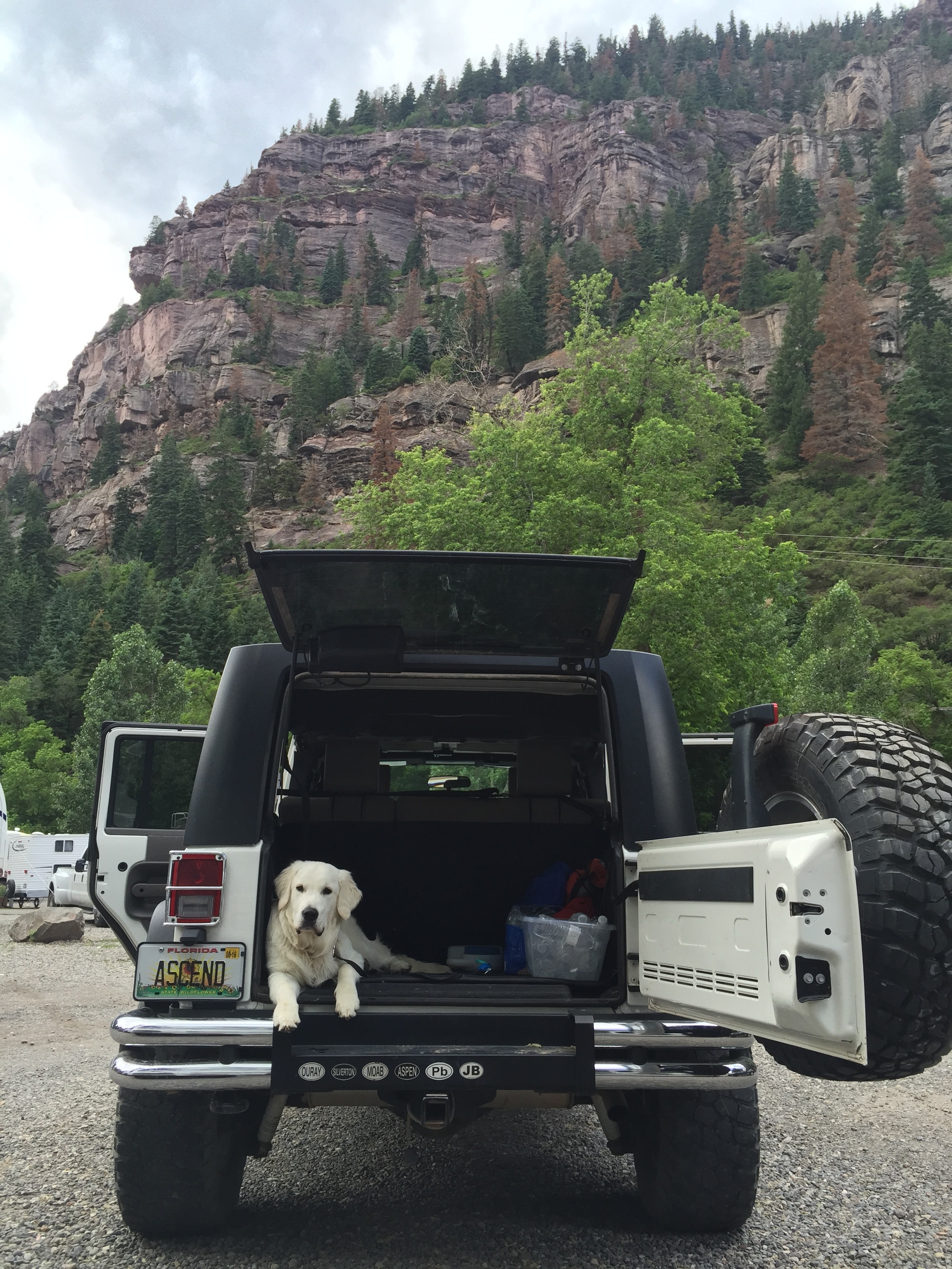
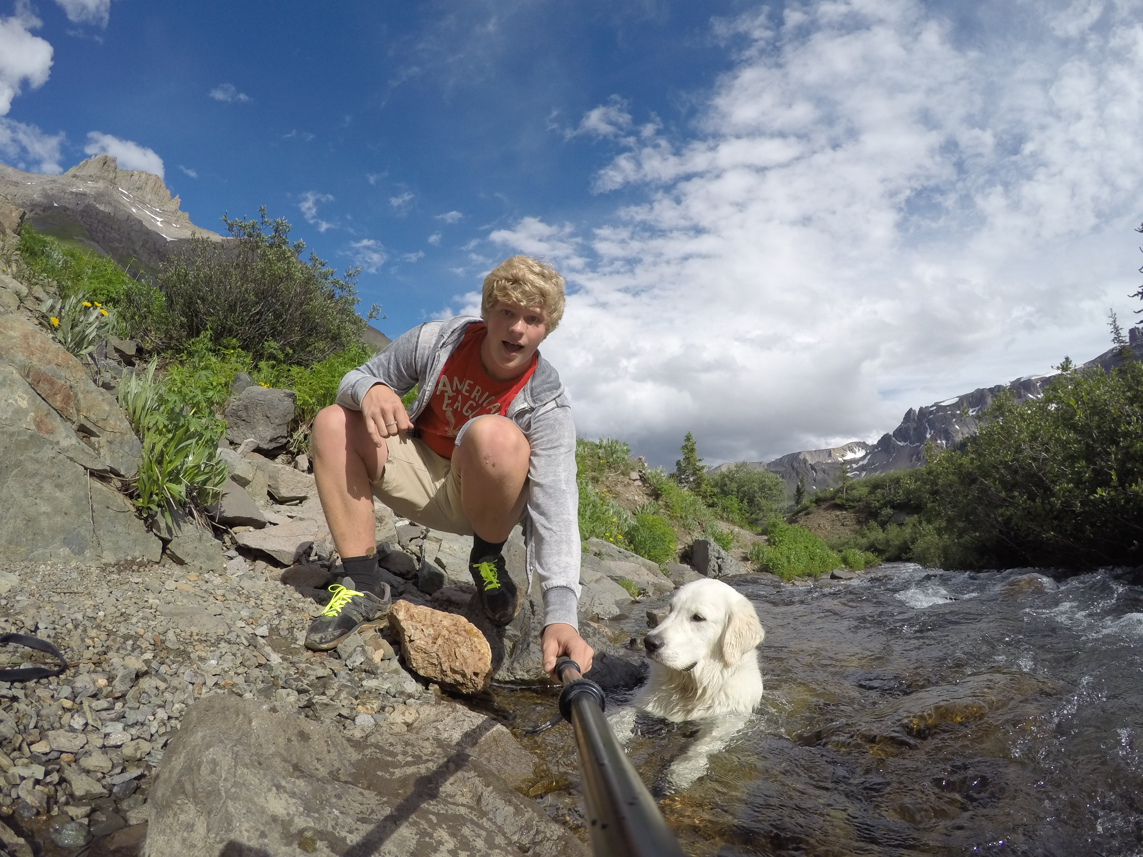
Dakota knows what the open trunk means! He is 9 months old now and finally figured out he could jump into the trunk all by himself. 🙂
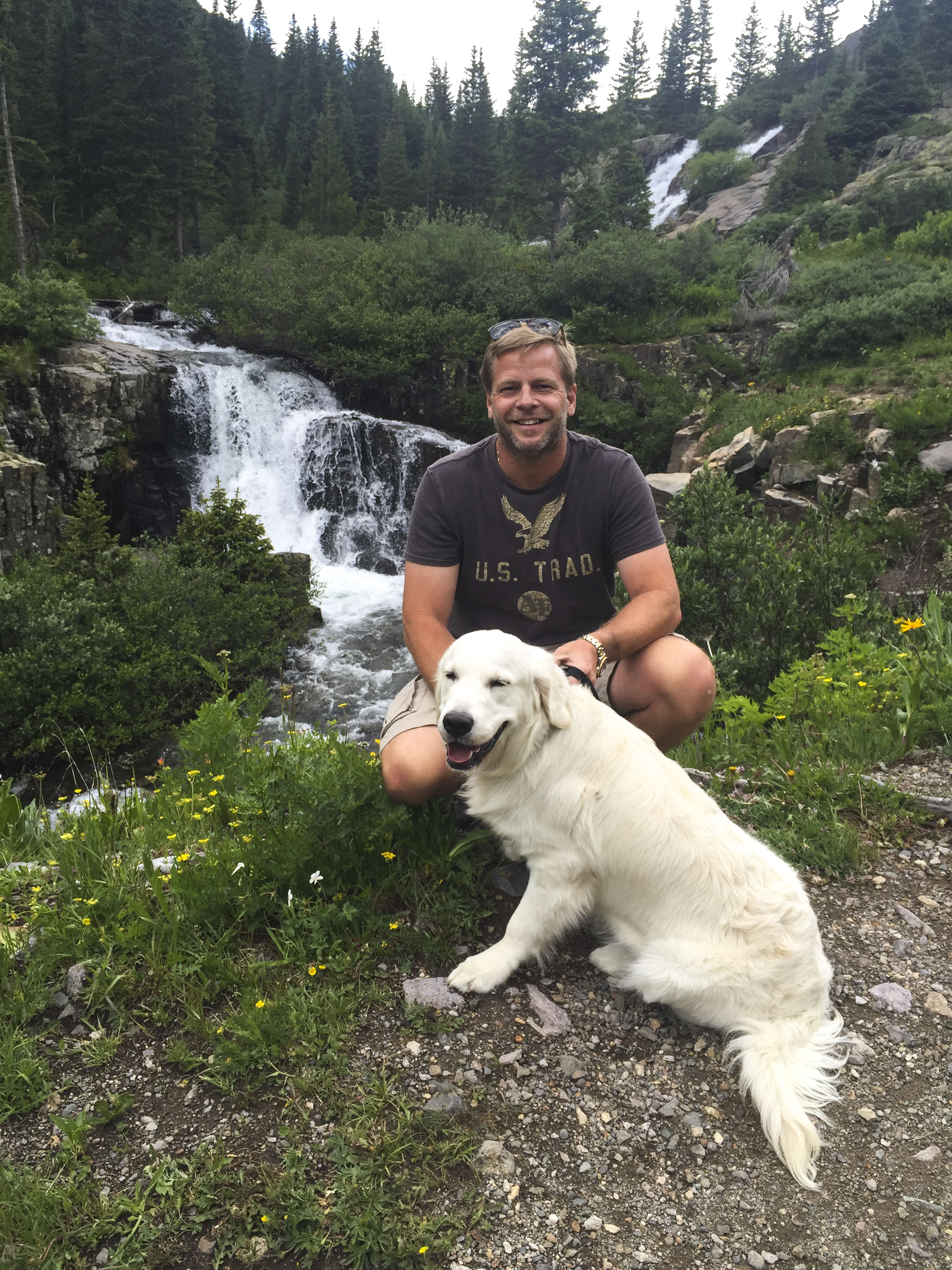
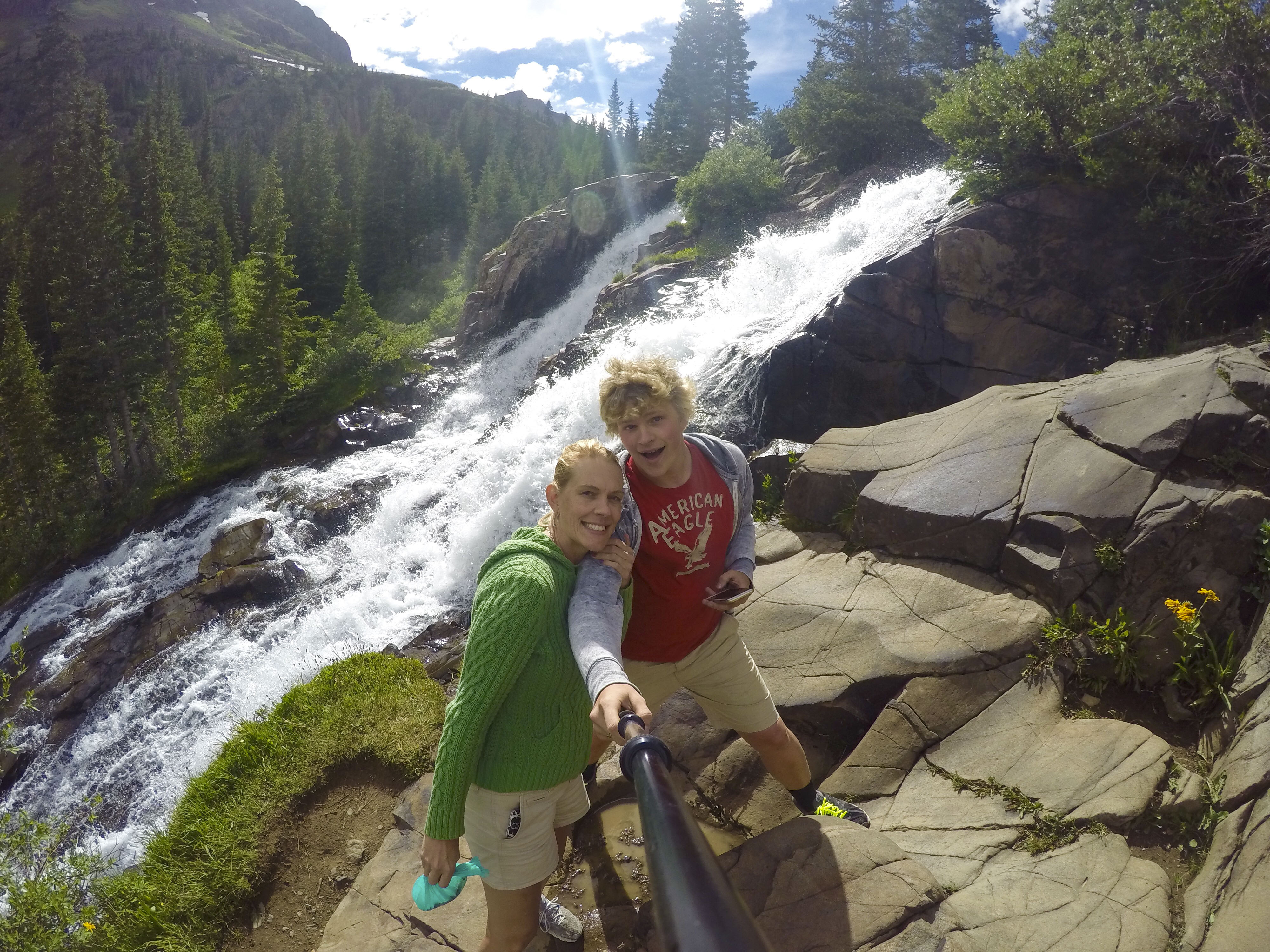
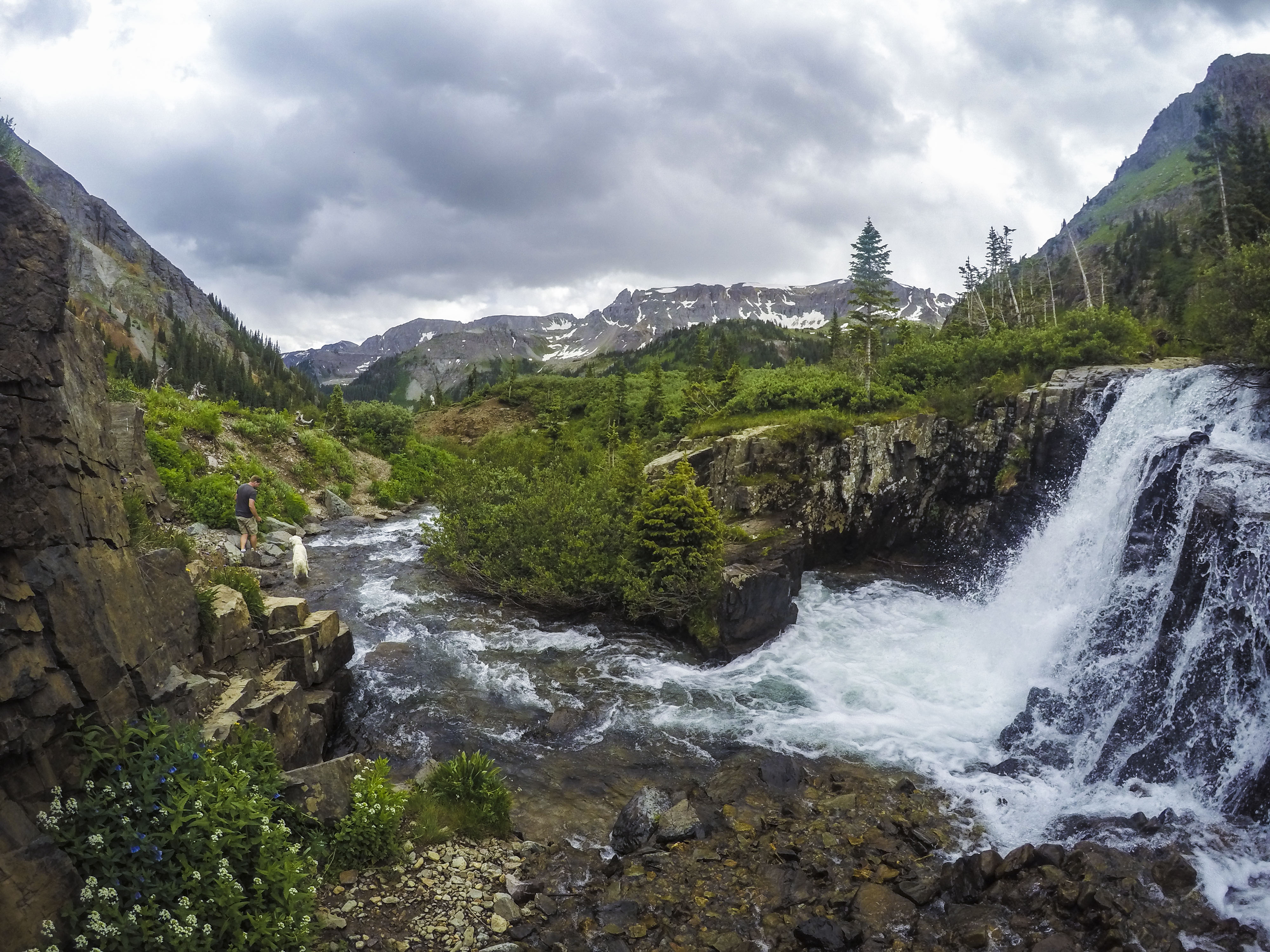
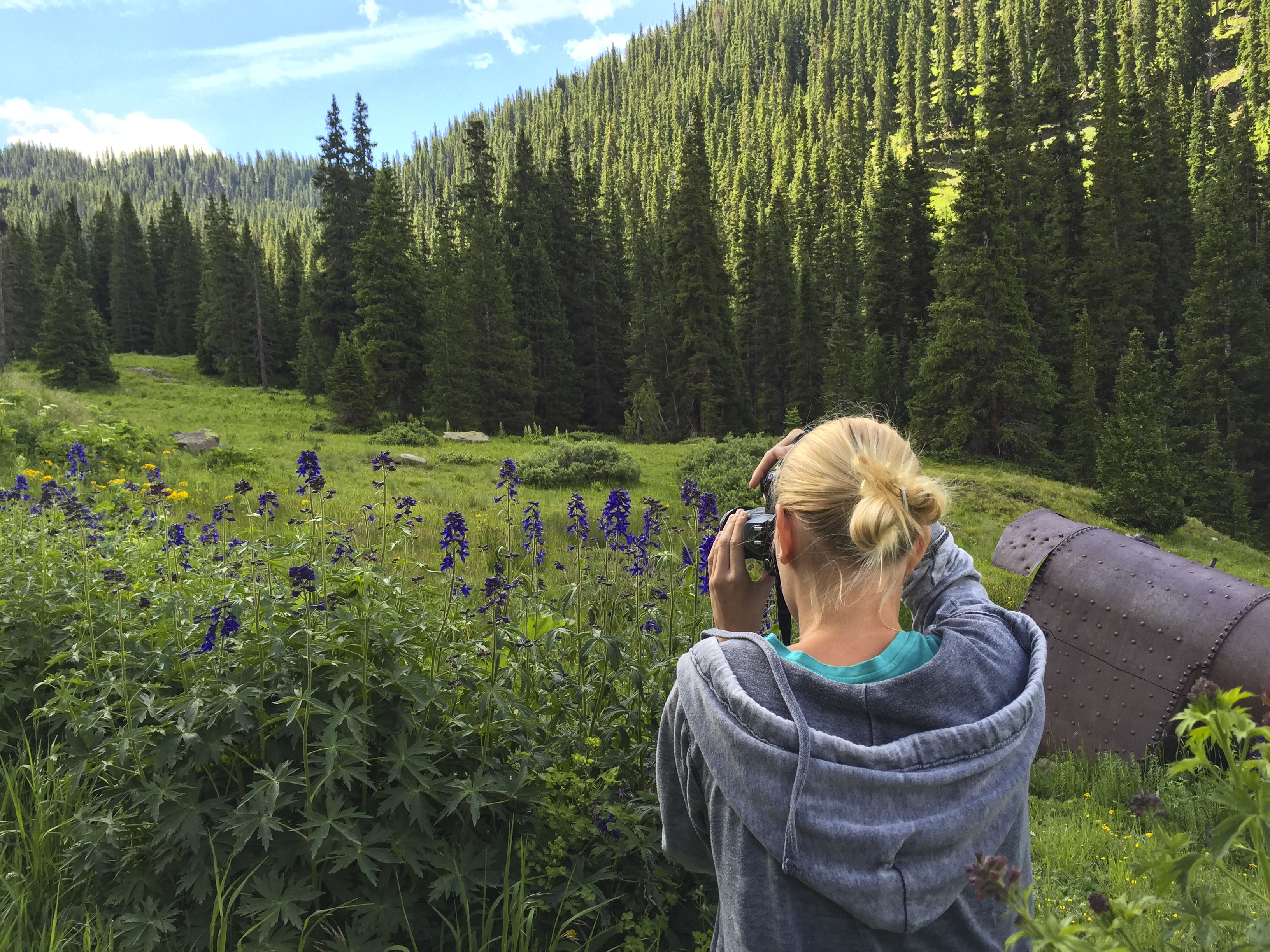
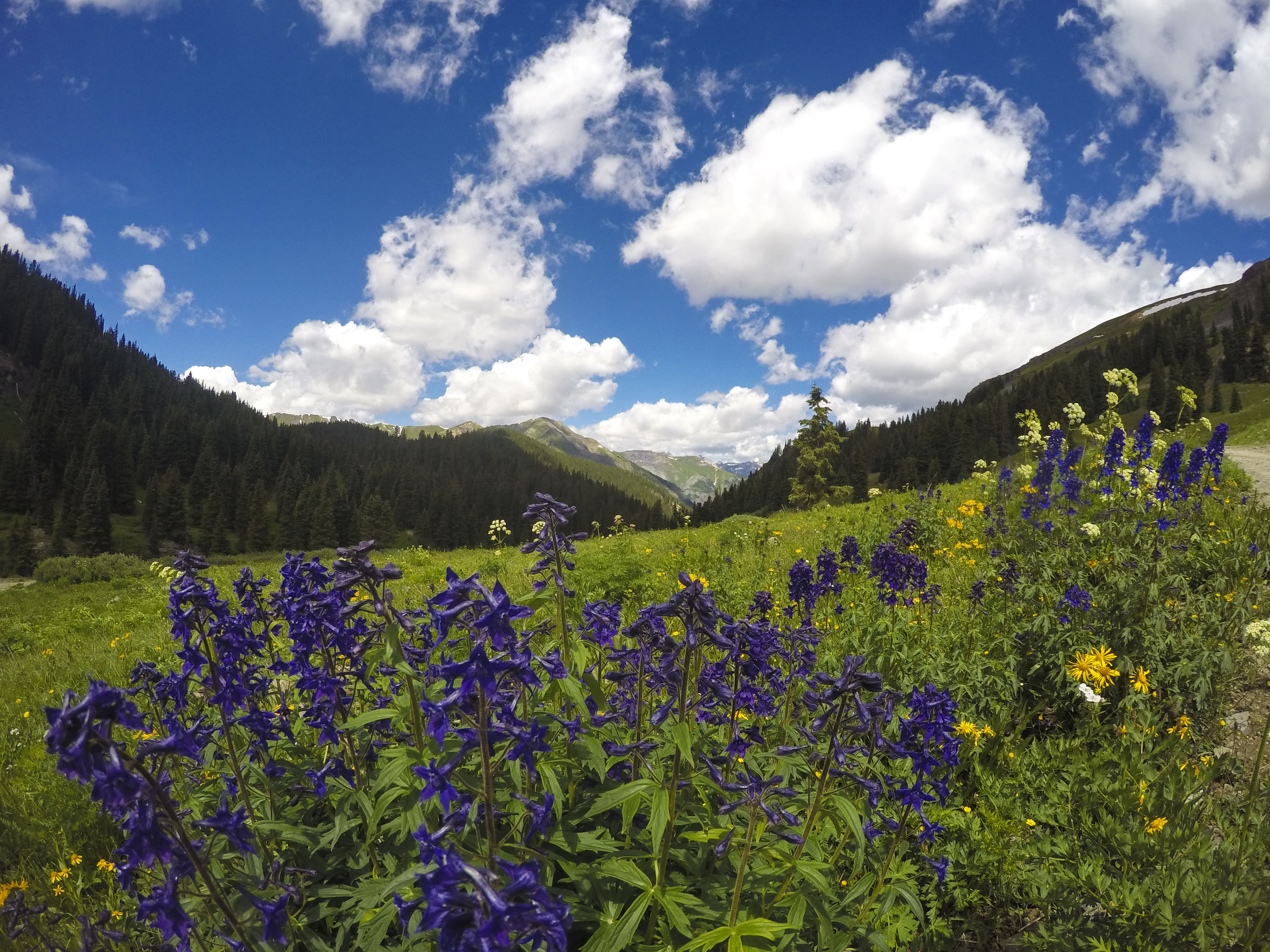
Just 45 minutes up the nearest mountain lies “Yankee Boy Basin,” a very popular site for piture-taking because of the abundant wild-flowers and pretty swiss models. (Actually, the twin waterfalls are the main attraction for most of the explorers.)
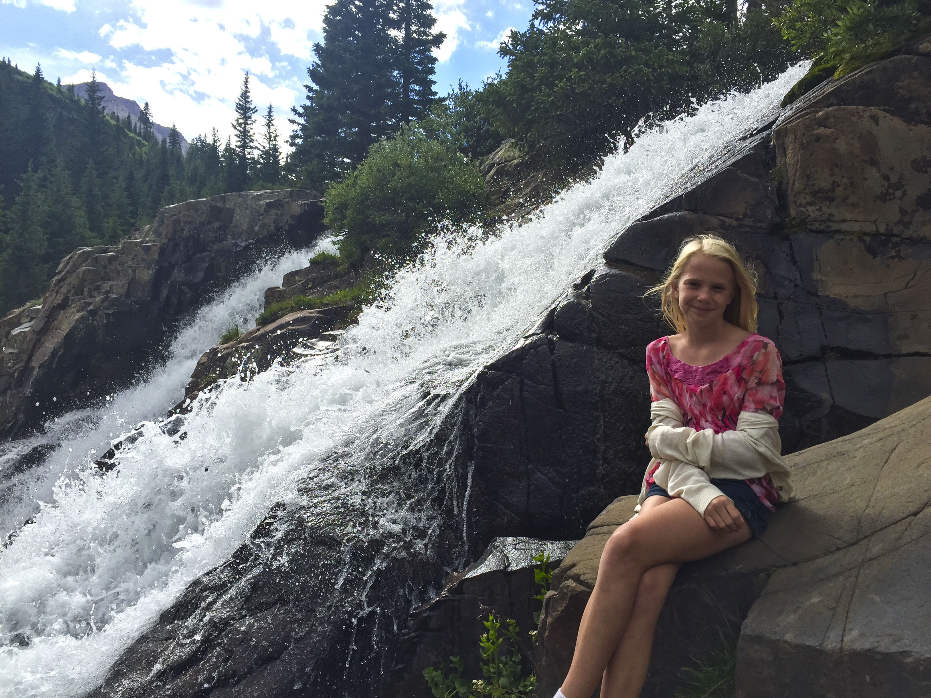
This is where Coors filmed their beverage commercial. Recognize it?
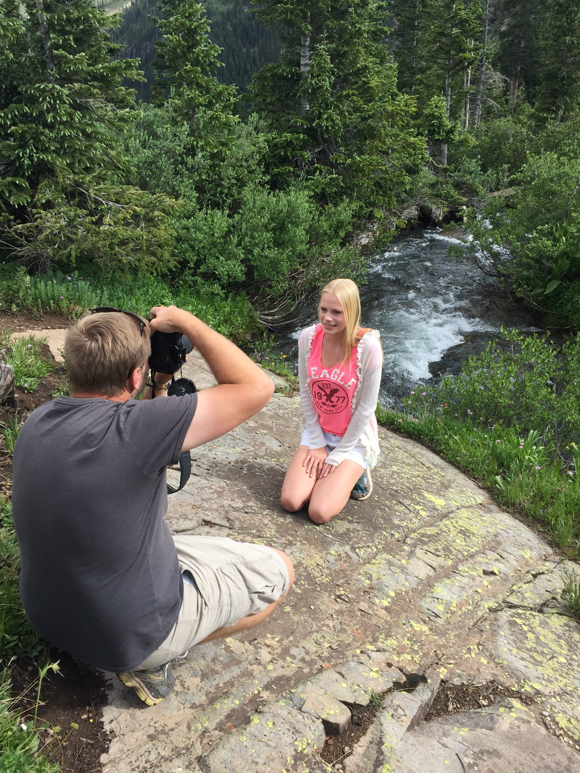
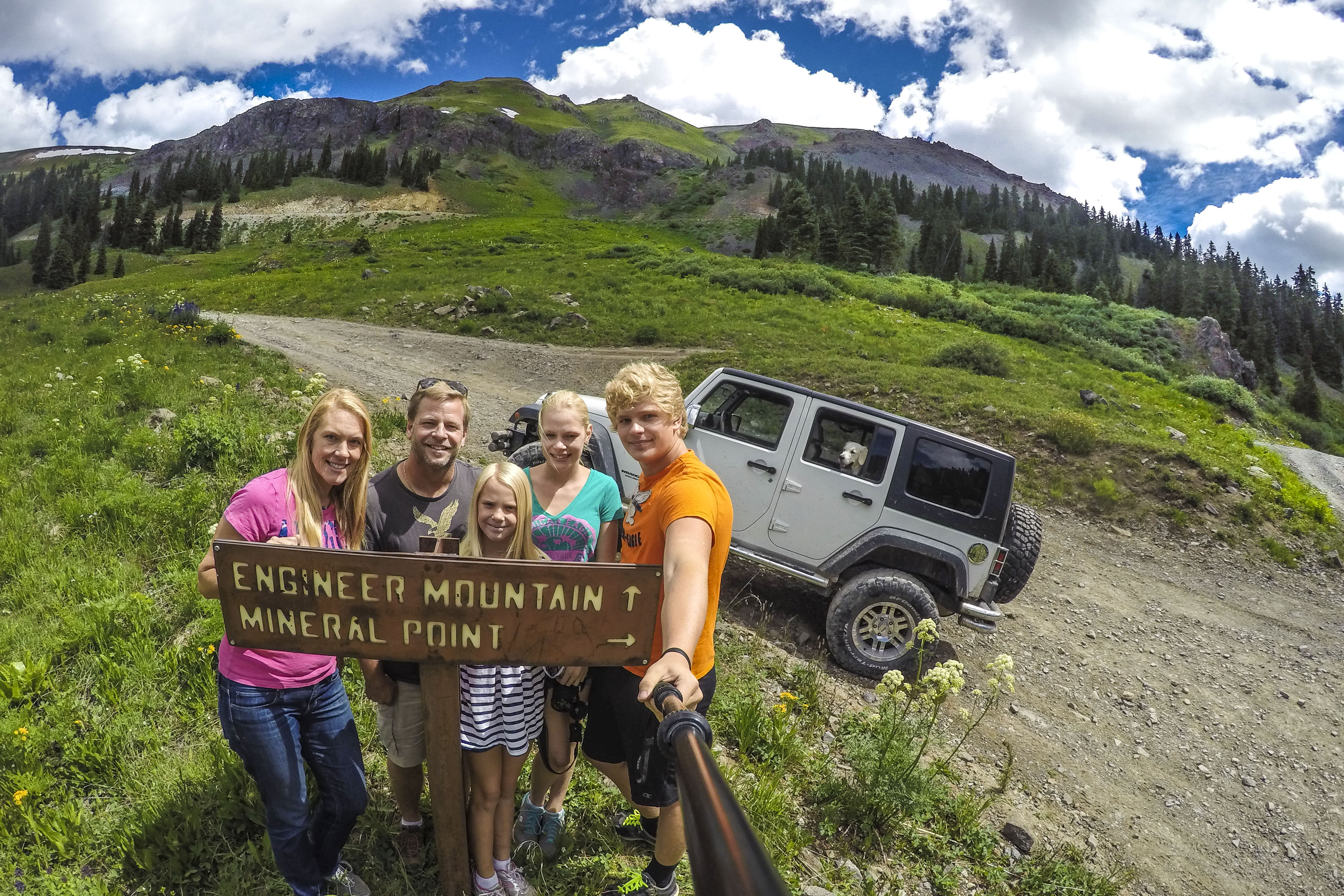
Jordan’s GoPro & GoRad pole have been great tools capturing memories this summer.
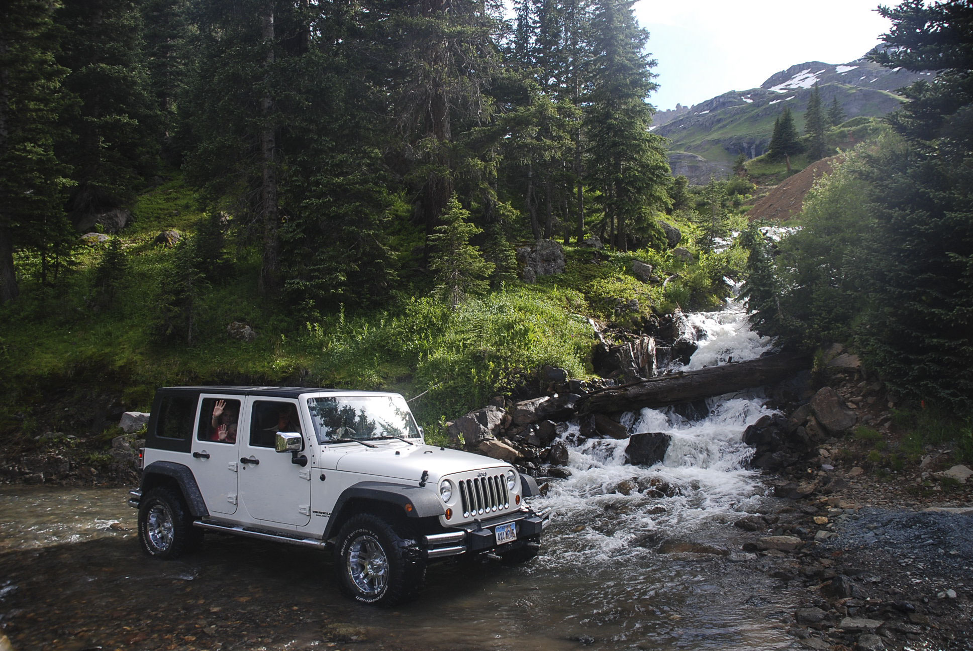
Waterfalls are everywhere up here in Little Switzerland. But not everyone can get this close. #JeepLife
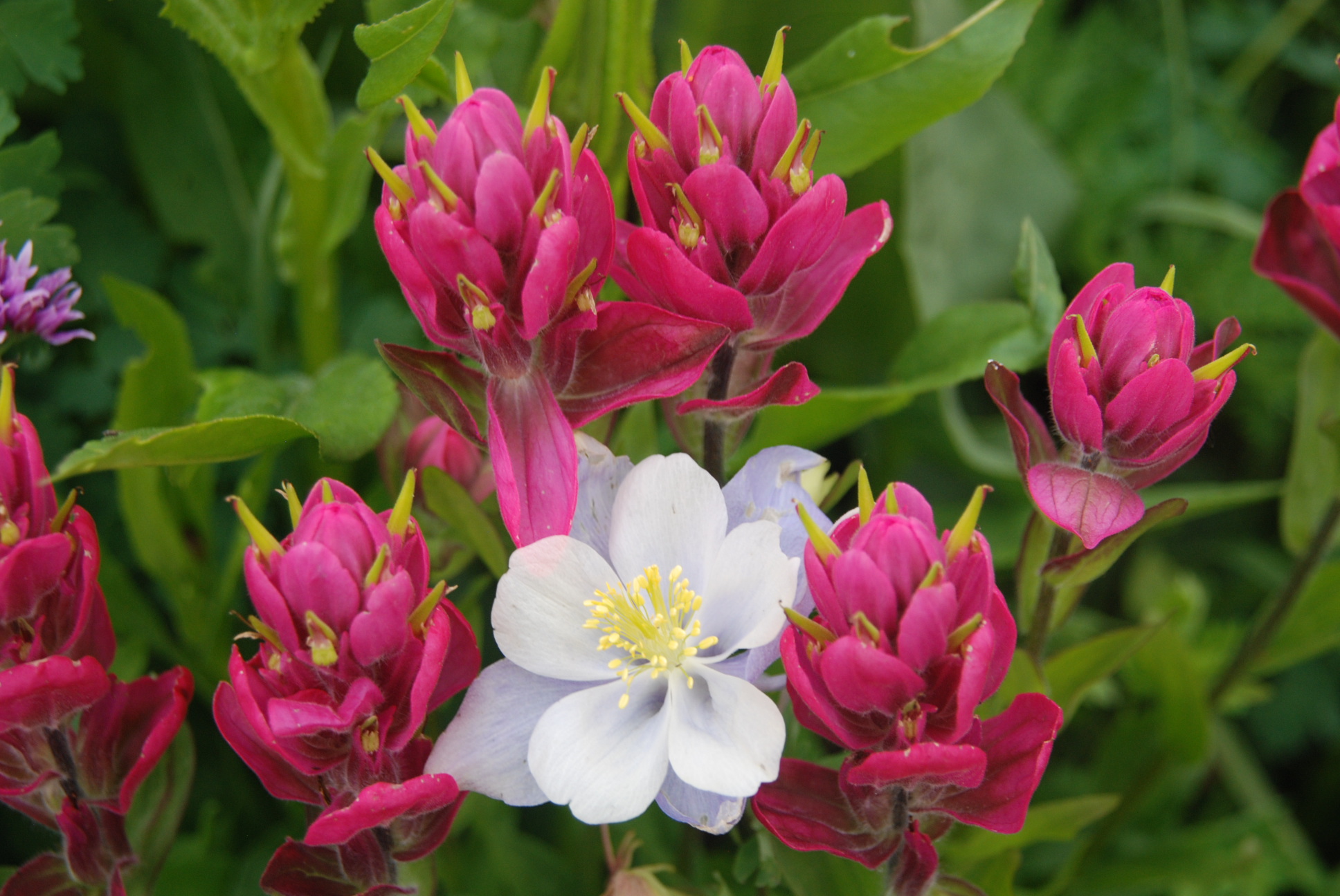
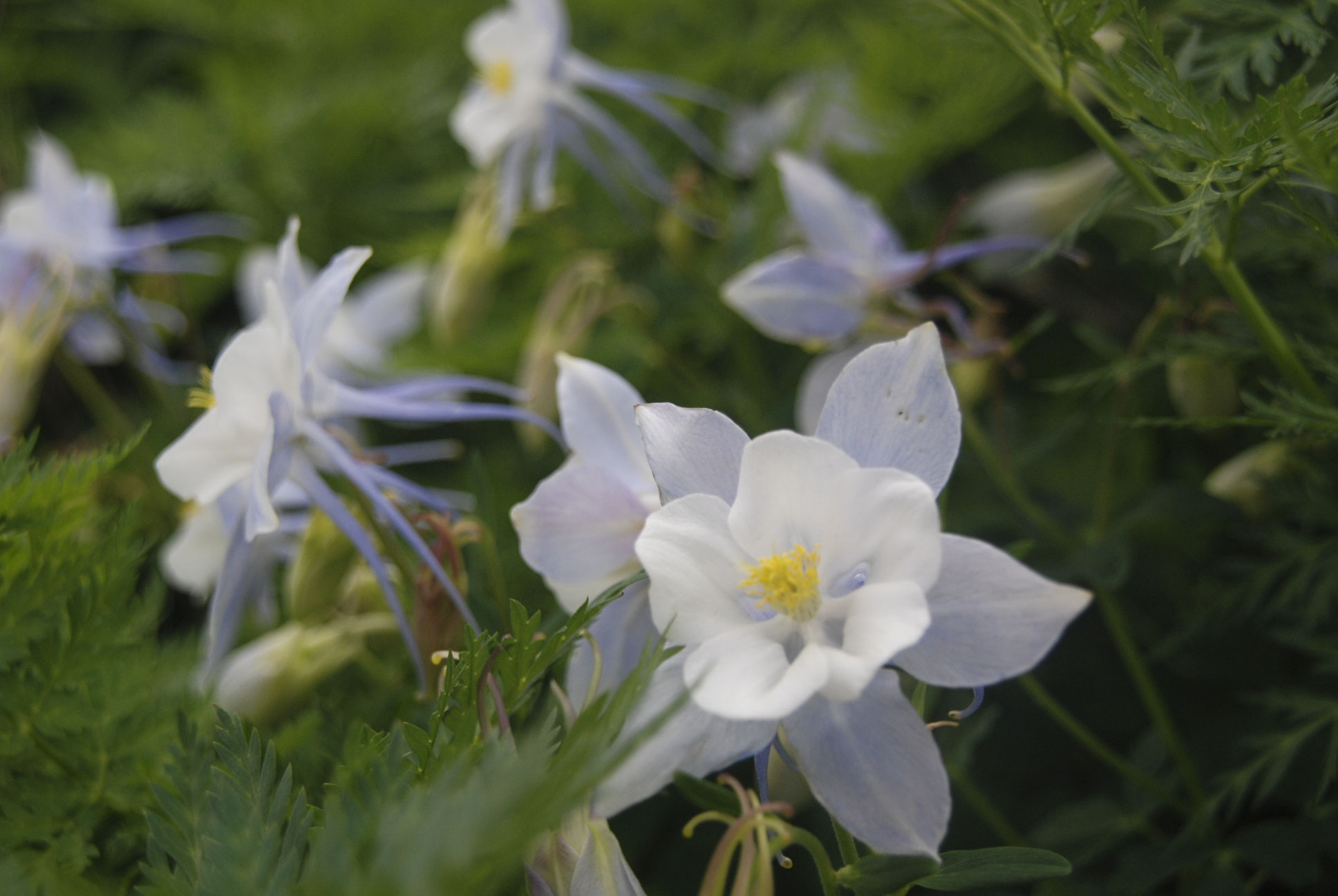
The state flower is this lilac-colored Columbine. It is totally illegal to pick one; the motto “Leave only footprints; take only pictures” is taken very seriously here.
This waterfall where we ate lunch is not so popular because few will brave the super rocky slick trail to get here. In years past, we’ve not been able to get here for all the snow that sticks around until July. (photo credit: Jordan Fenlason)
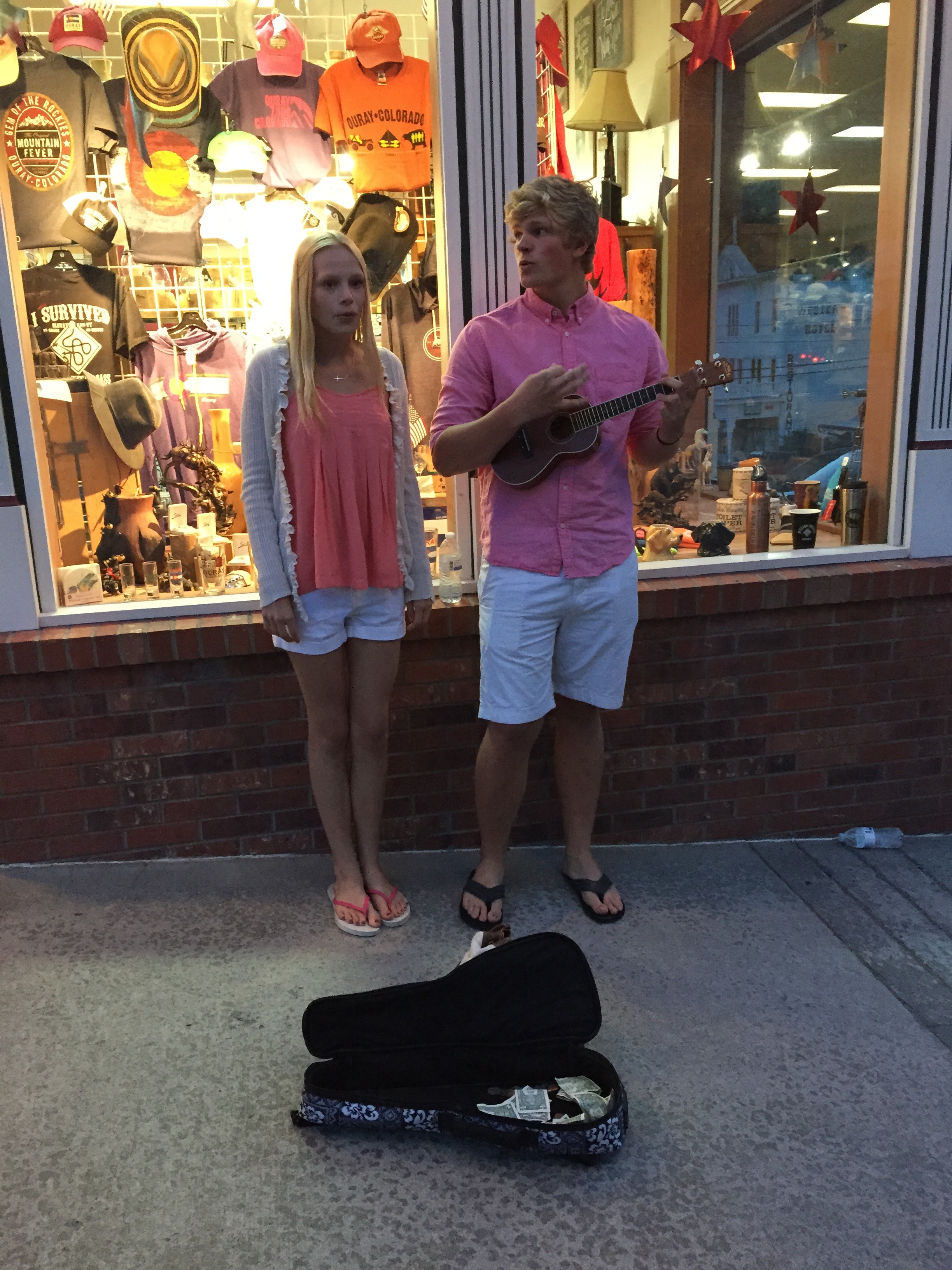
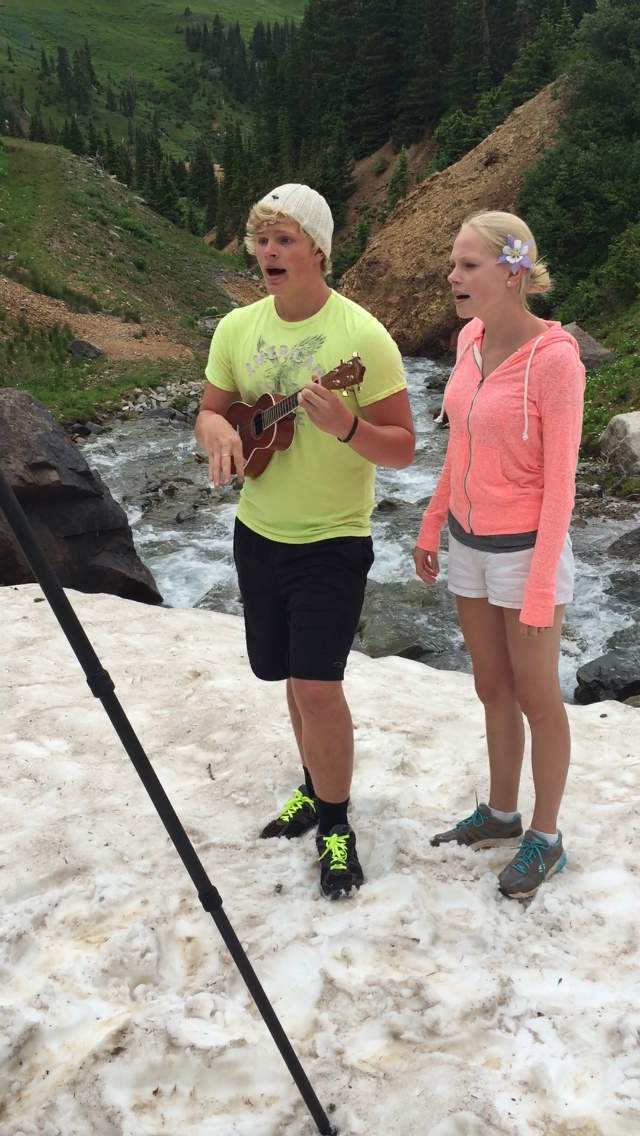
It was 57º when we arrived back to basecamp and headed downtown. Jordan & Carlye have been practicing their act during the long-drive days in the RV and it really paid off 🙂 One passer-by put in some money in the open Uke case and said to Jordan, “Buy her a coat!” (for video footage of such events, text Rochelle privately :-)).
Ah . . . those Florida kids and their white shorts . . . !
Day 2: Big Day of Jeeping tough trails
All the trails have names so that when we roll back into town and down to the Jeep Wash you can answer the questions like, “How high did ya get?” Today’s adventure: “Mineral Creek Trail” to OH Point, through the Ghost mining town of Animas Forks, and finally Hurricane Pass.
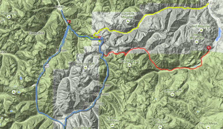
This map show the Alpine Loop. We took the blue round-trip route today. The first part of the trail on Mineral Creek leads along a narrow ledge with the creek far below. It’s relatively flat and safe unless the driver decides to enjoy the view.
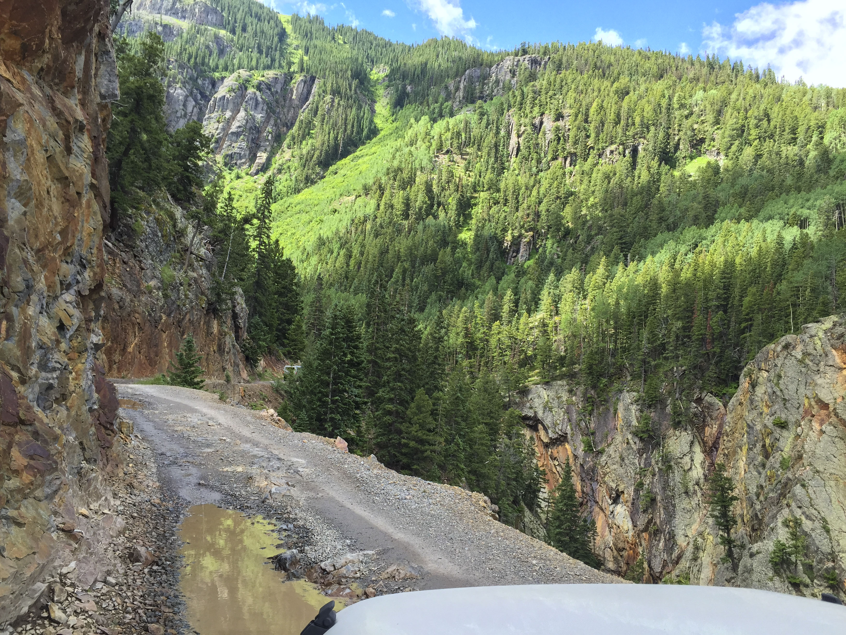
If a picture is worth a 1,000 words, what is a video worth??
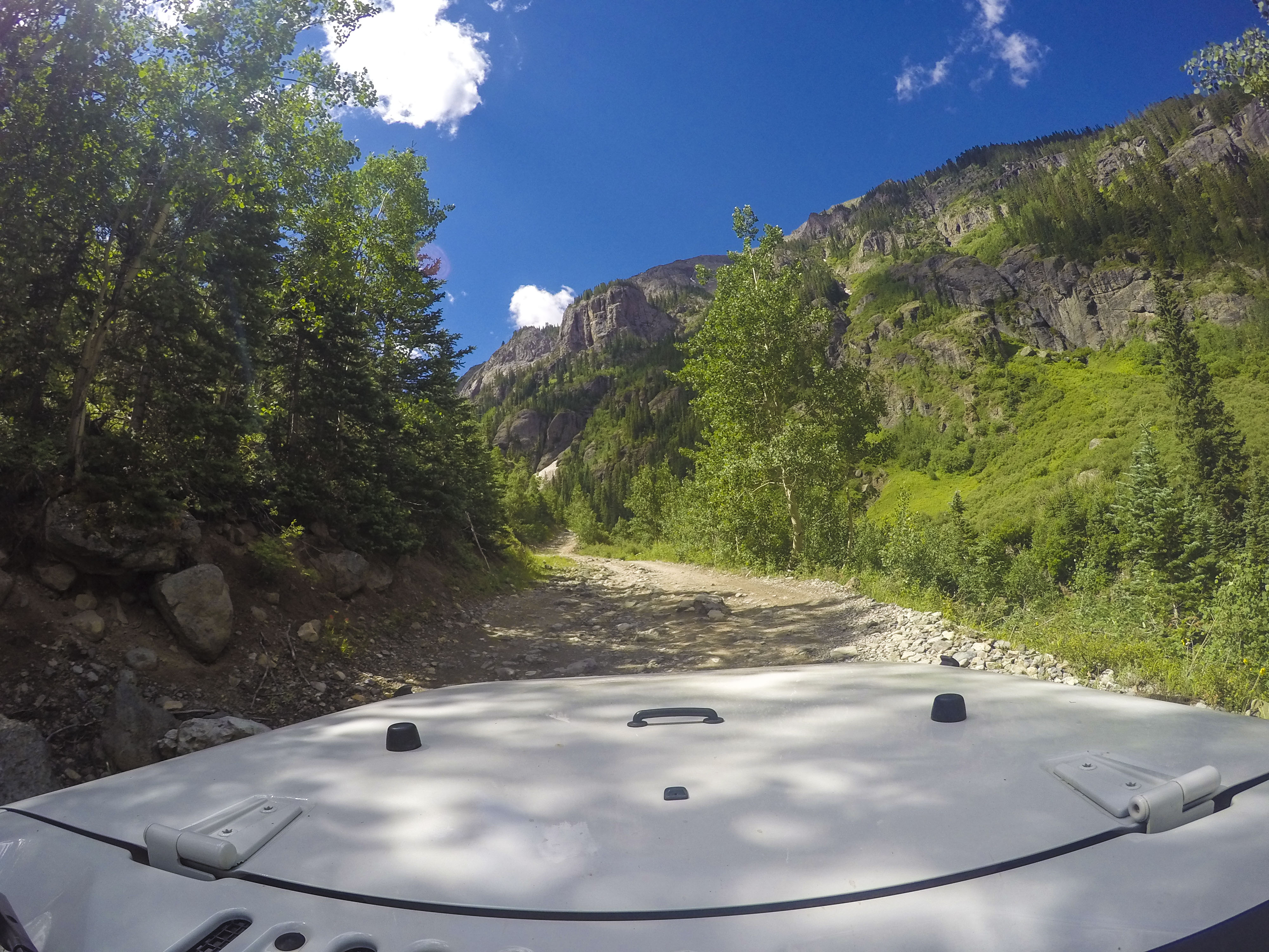
Each turn holds a surprise! Sometimes it’s, “Surprise! A whole caravan of Jeeps is coming down!” It’s part of the fun—-a challenge to back down a steep trail until there’s enough room to let others pass literally centimeters along your side.
Dilapitated mines, boarding houses, and rusted equipment litter the roadside as memorial to the gold & silver rushes that created Ouray and the surrounding towns in the late 1800’s.
Hmm . . . choices. We first went up Engineer Mountain to “Oh Point” where it feels like the top of the world!
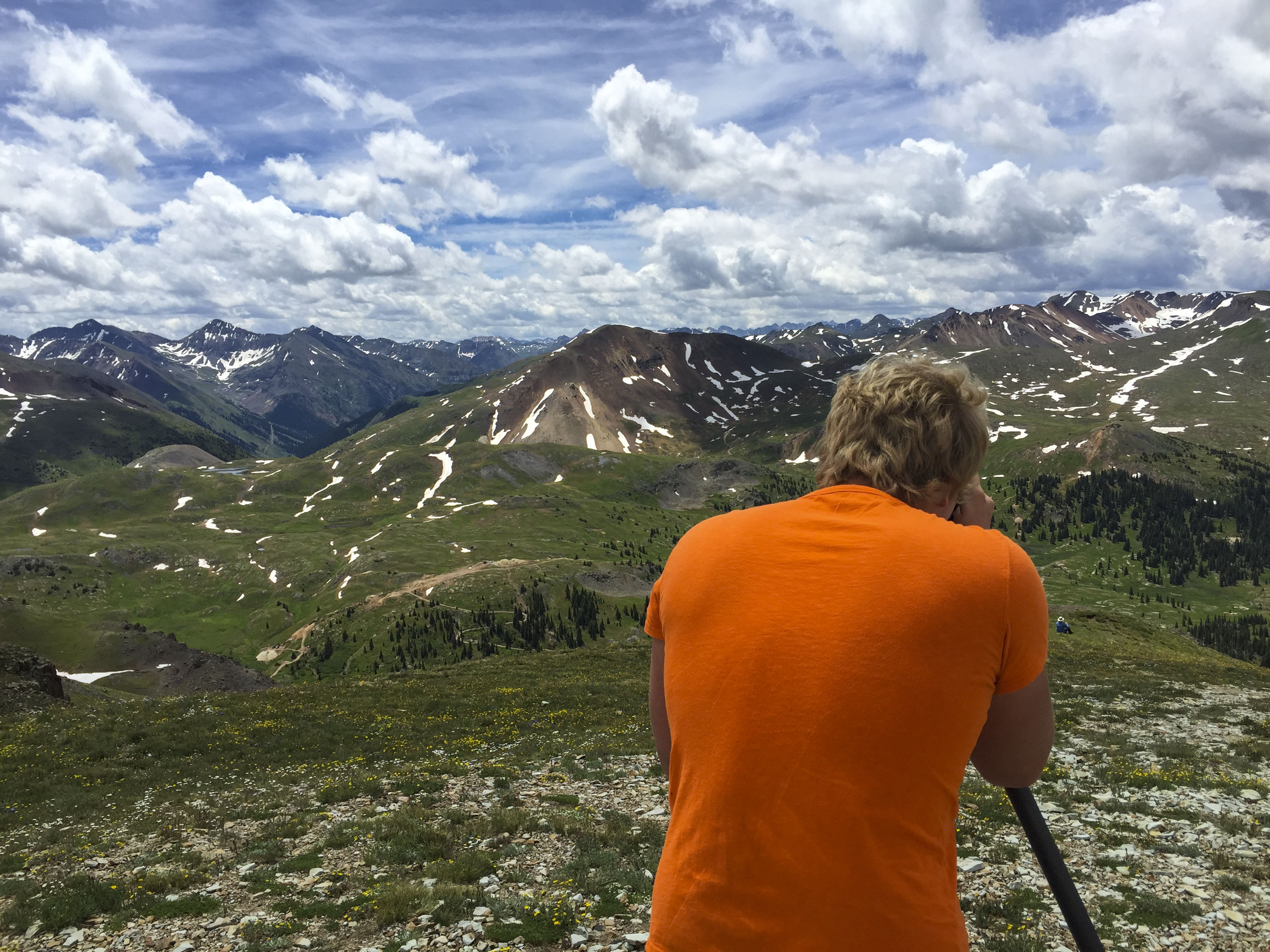
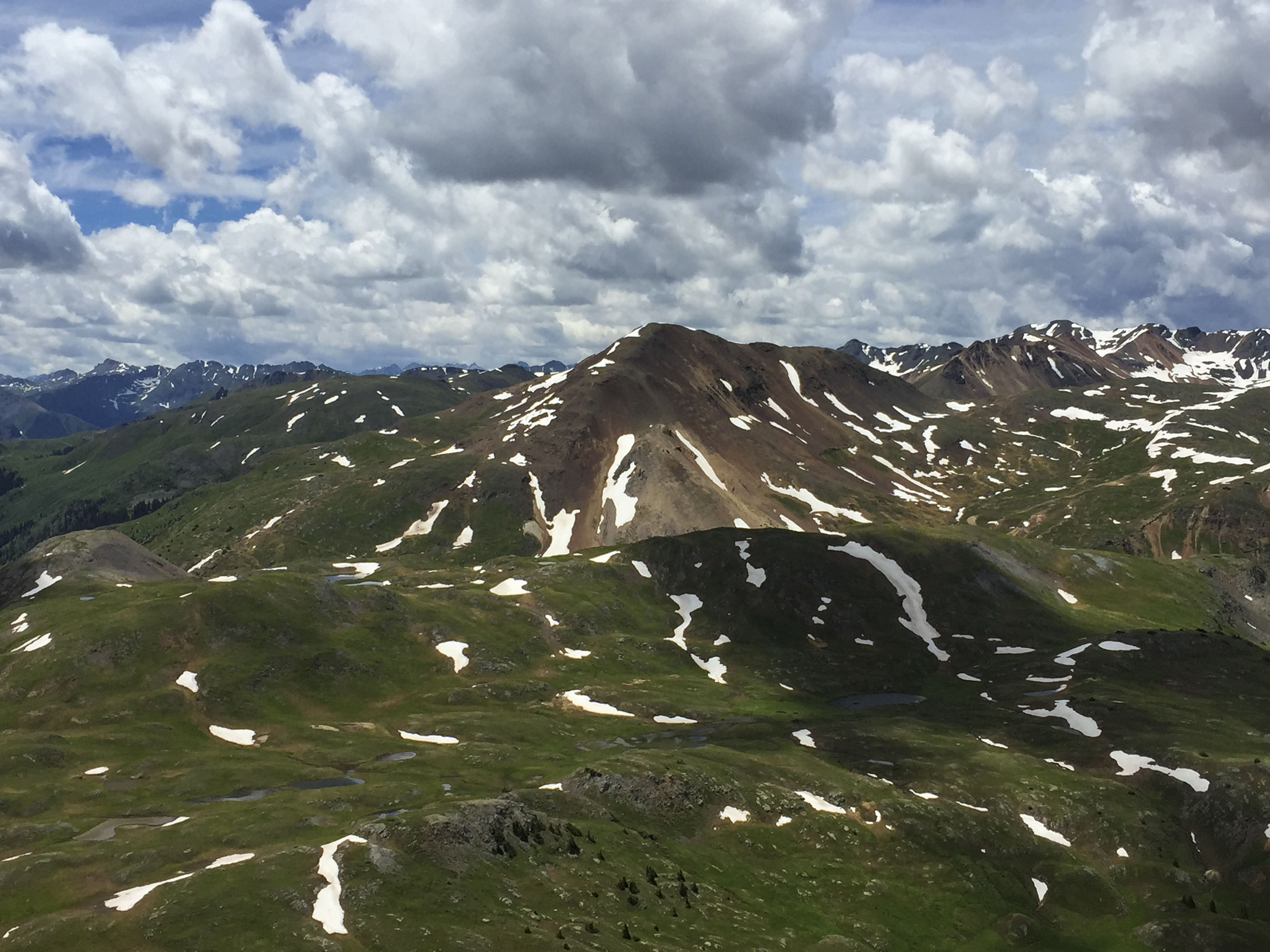
This plateau among the peaks provides 360º views of the surrounding summits. Mount Sneffels is the highest one around at 14,158 ft. (almost 3 miles above sea level!)
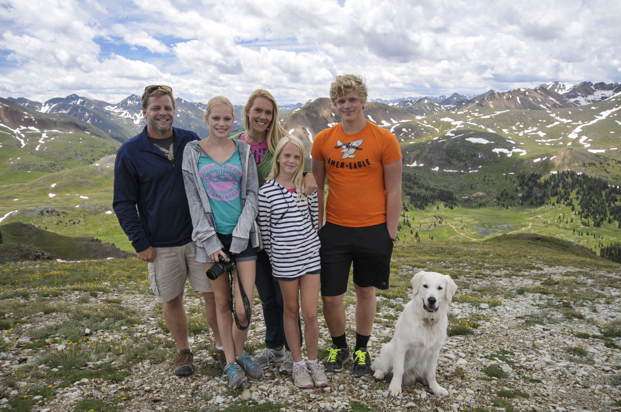
Family pic atop OH POINT! #topoftheworld
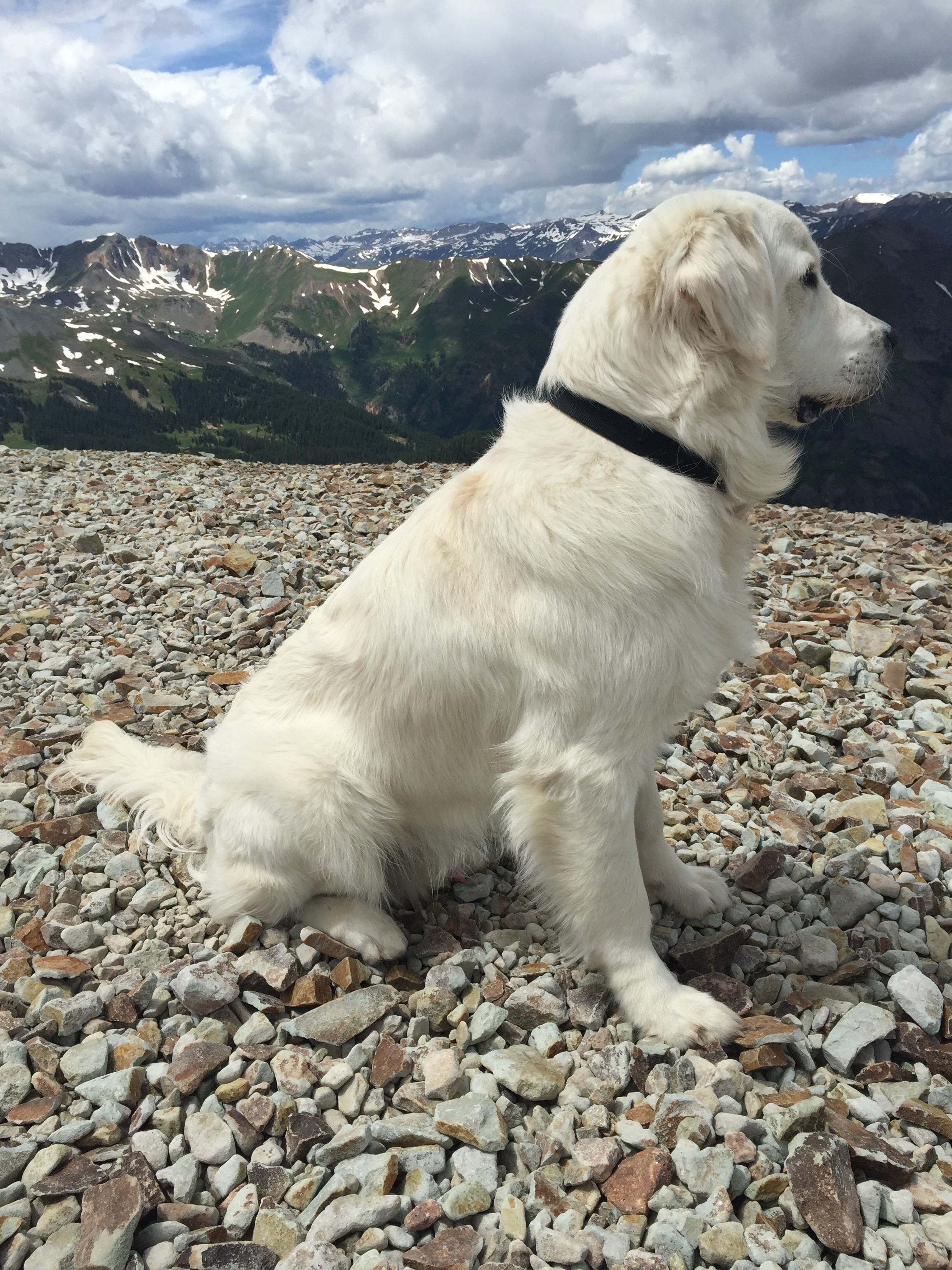
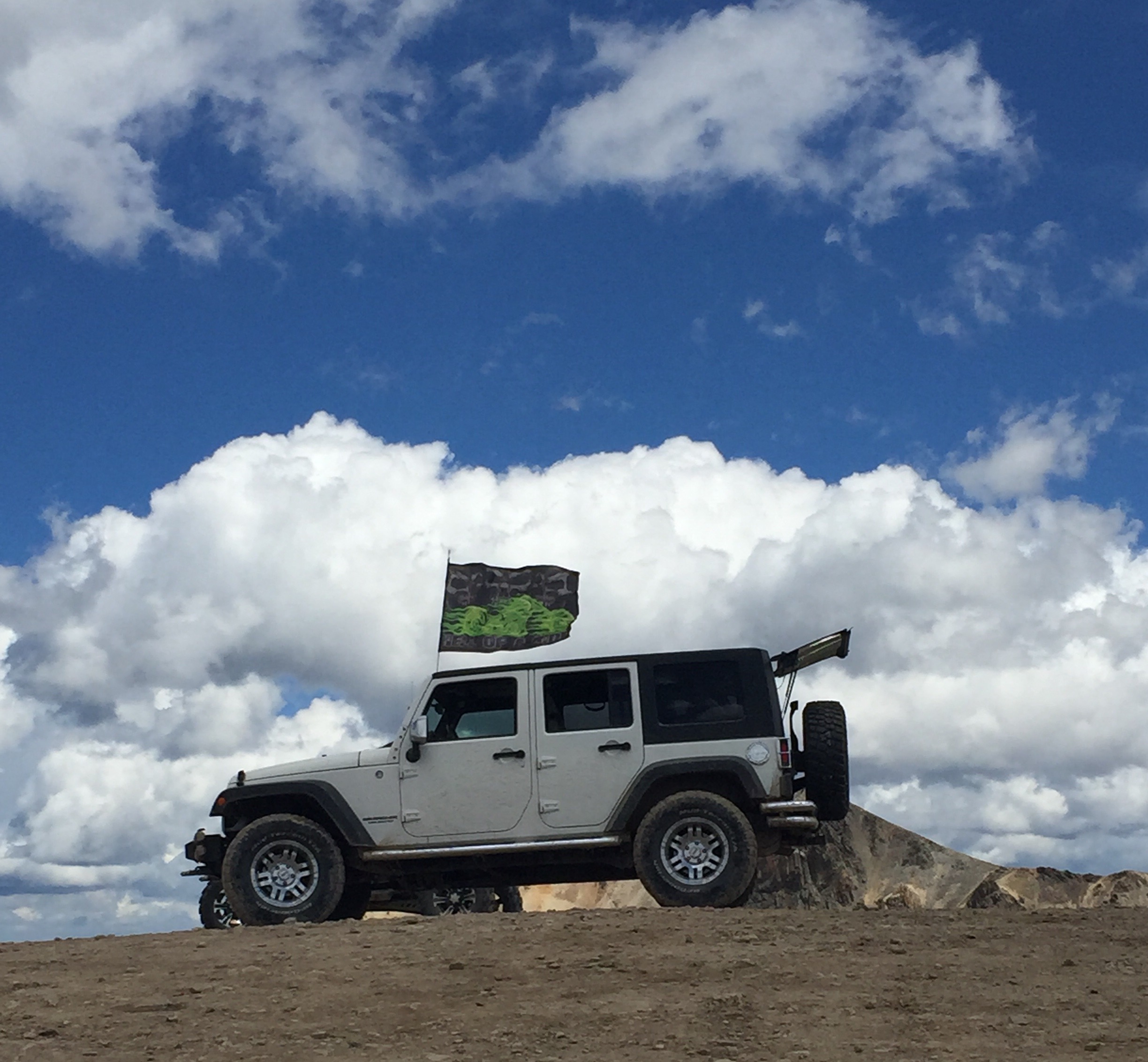
Dakota enjoying the views and posing like a model dog! The Jeep looked so cool with this ATV-ers flag fluttering behind it (don’t click to enlarge photo–flag is from the dark side).
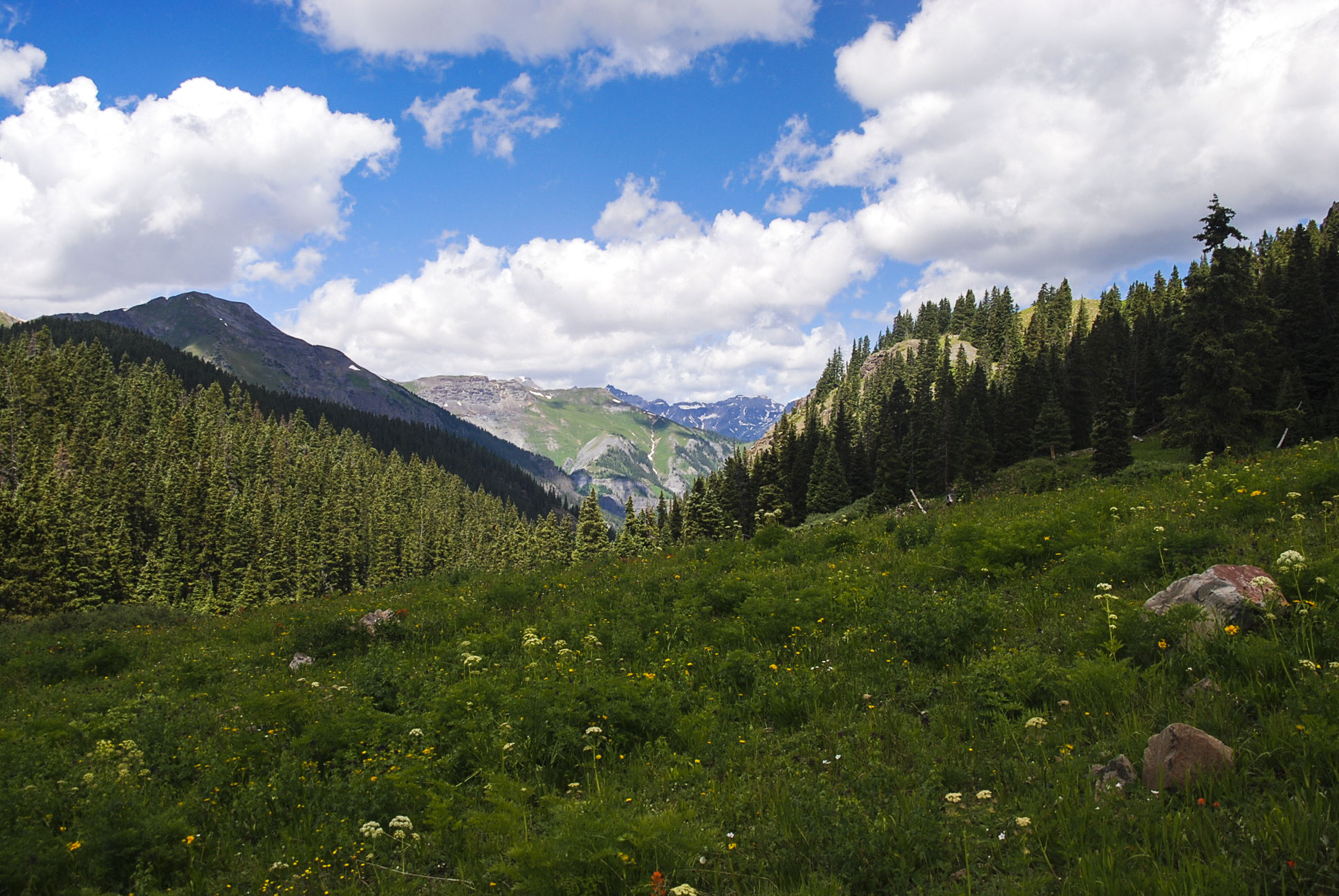
Heading back down to Mineral Point (the other choice on the previous sign) shows lush green valleys and more wildflowers.
Today’s lunch stop: Camp Bird Mine
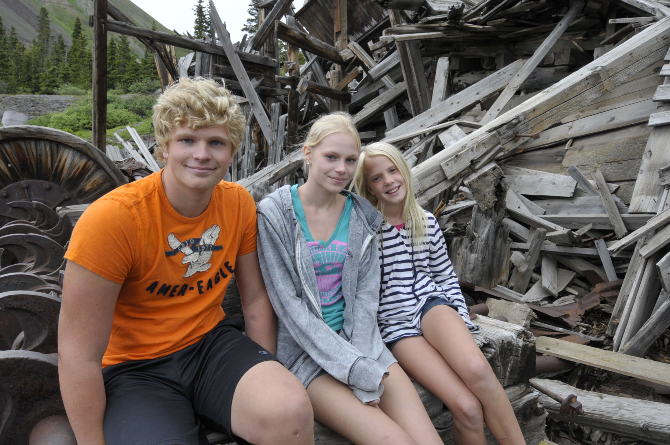
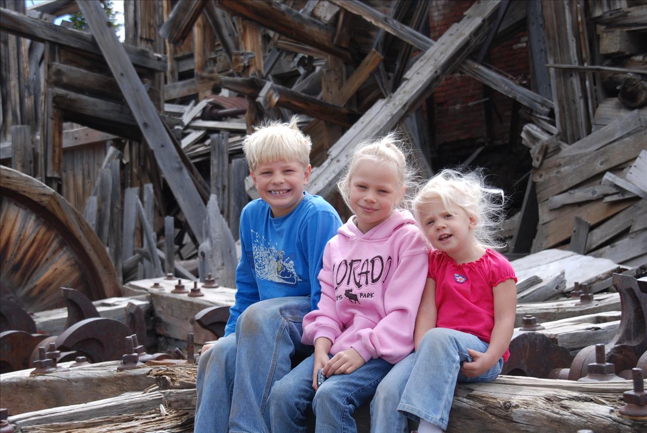
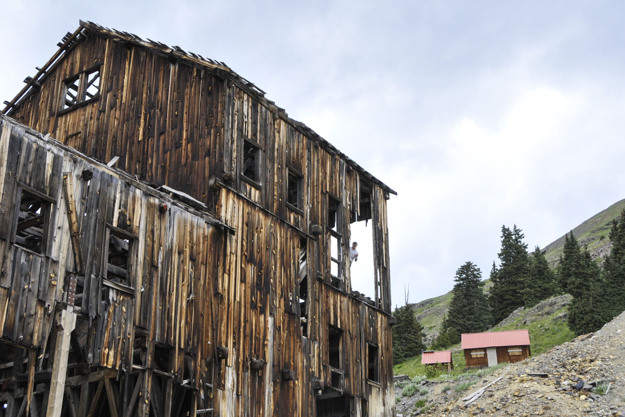
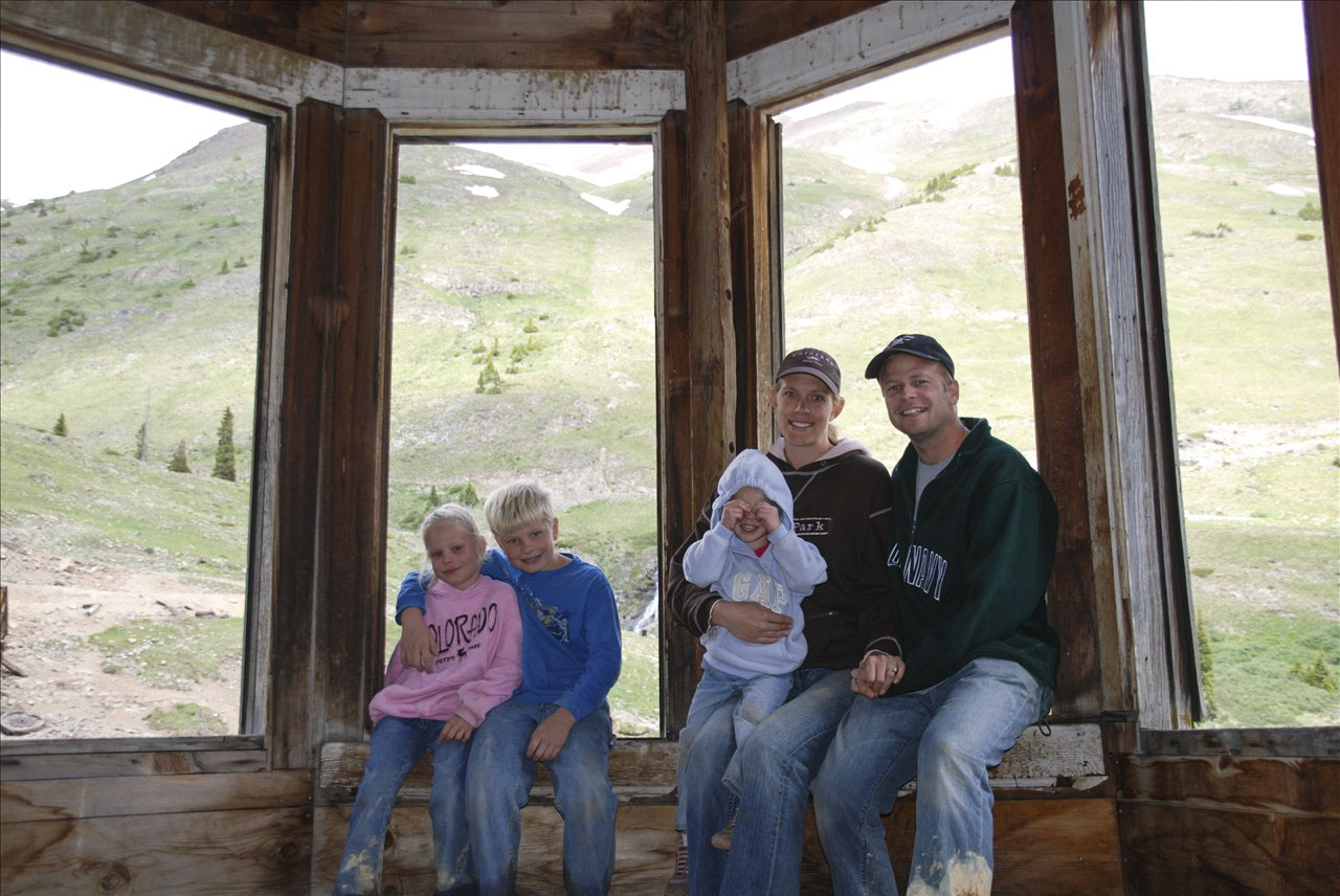
2015 and 2007 . . . Not only the kids have changed. The structure has aged as well.
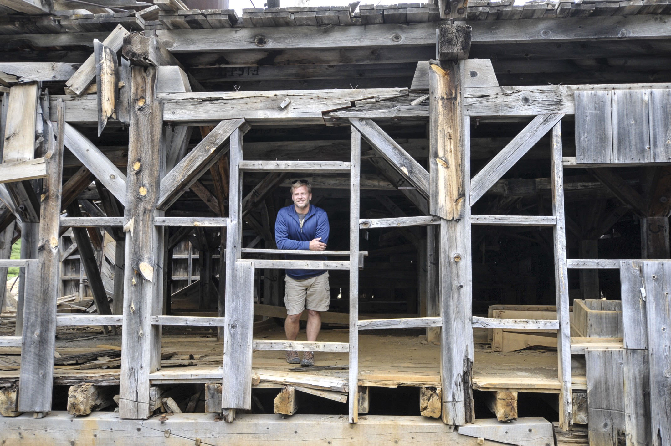
See Jordan in left pic way up hight? This property in the middle of nowhere is actually for sale. Any investors want to go in with us to create a coffee shop & wifi hotspot out here for all these Jeepers? As remote as it is, 250,000 visitors make this trek each summer.
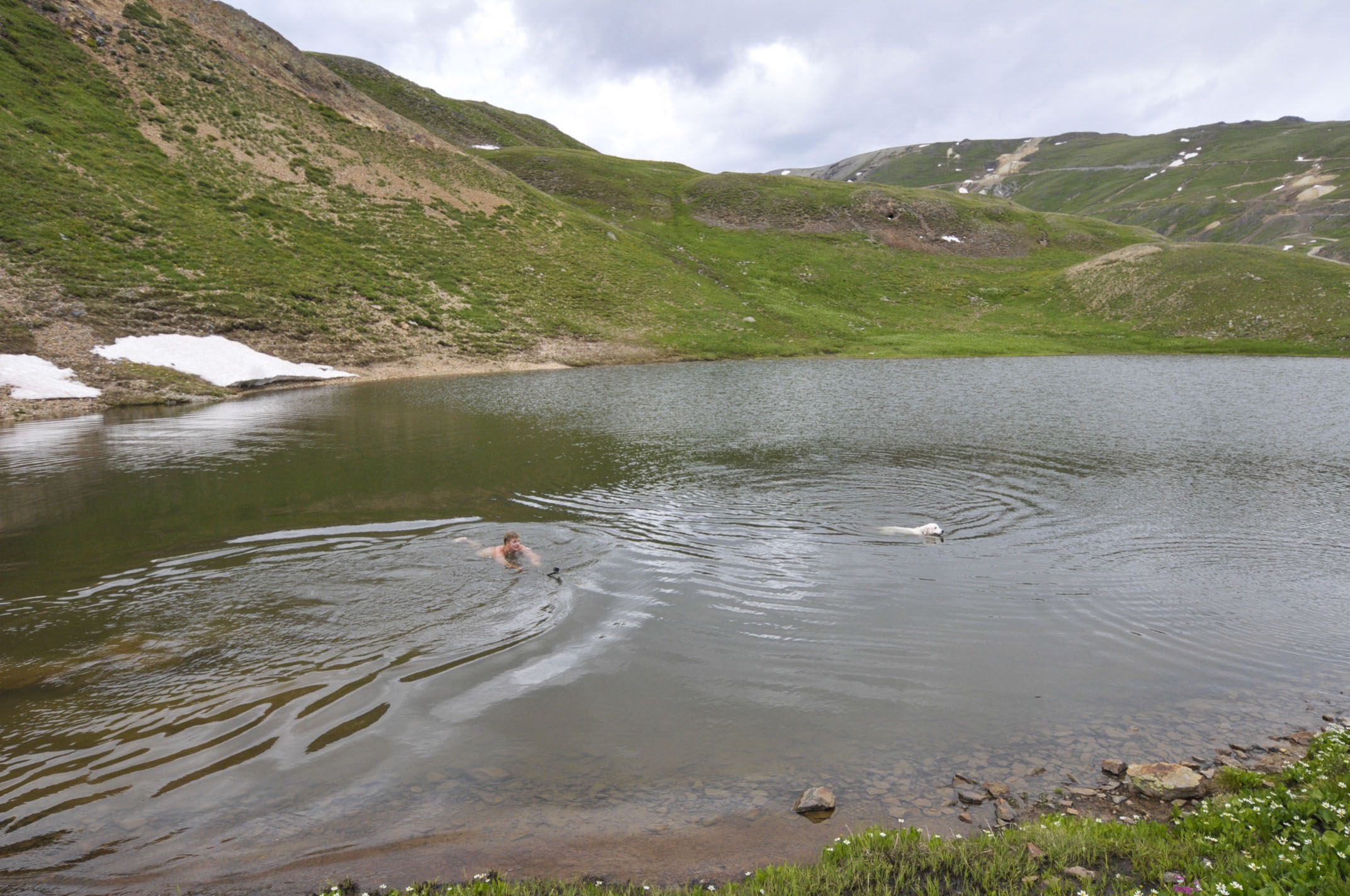
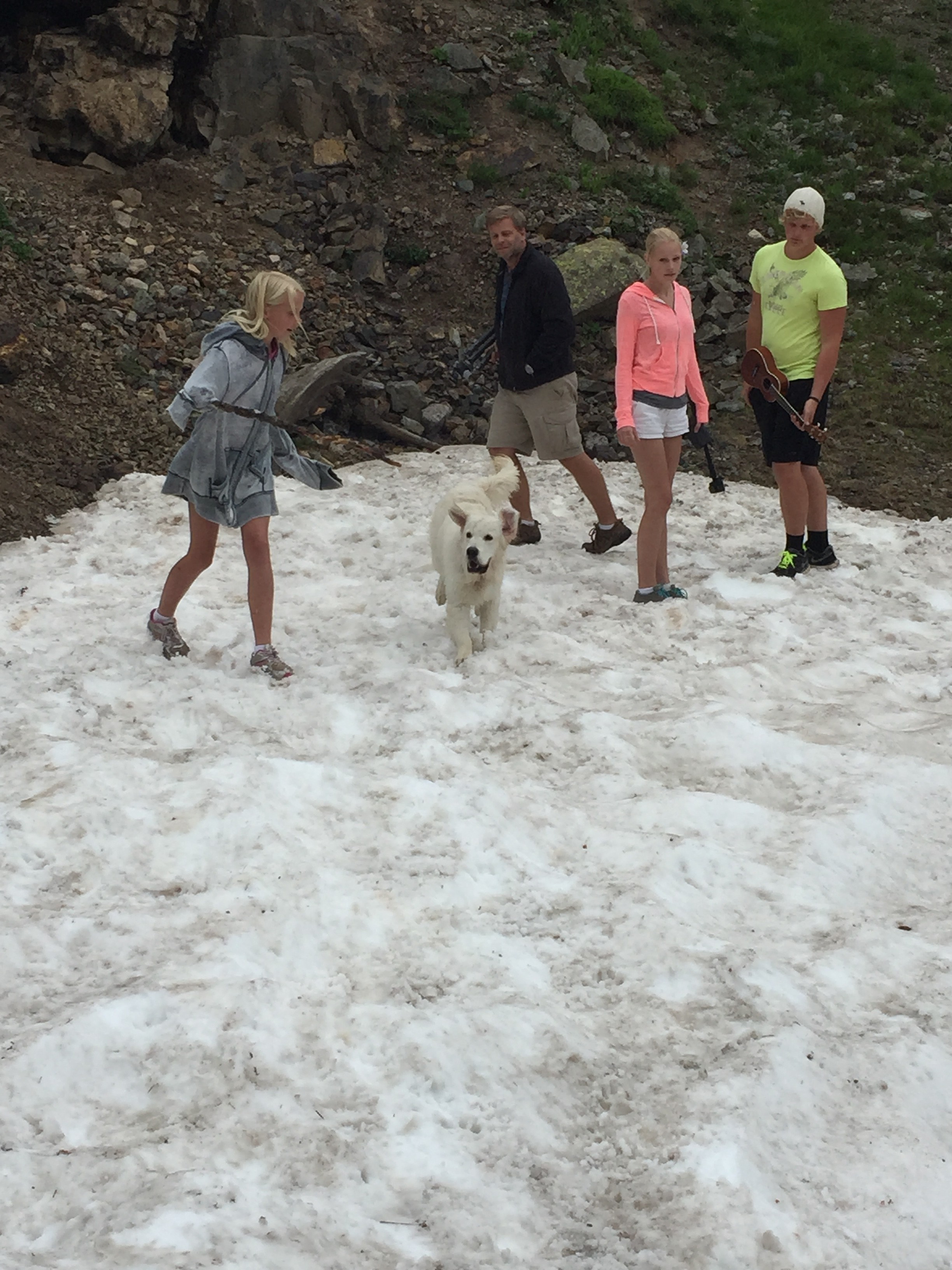
BUT . . . I bet only one visitor will have swam here this summer . . .
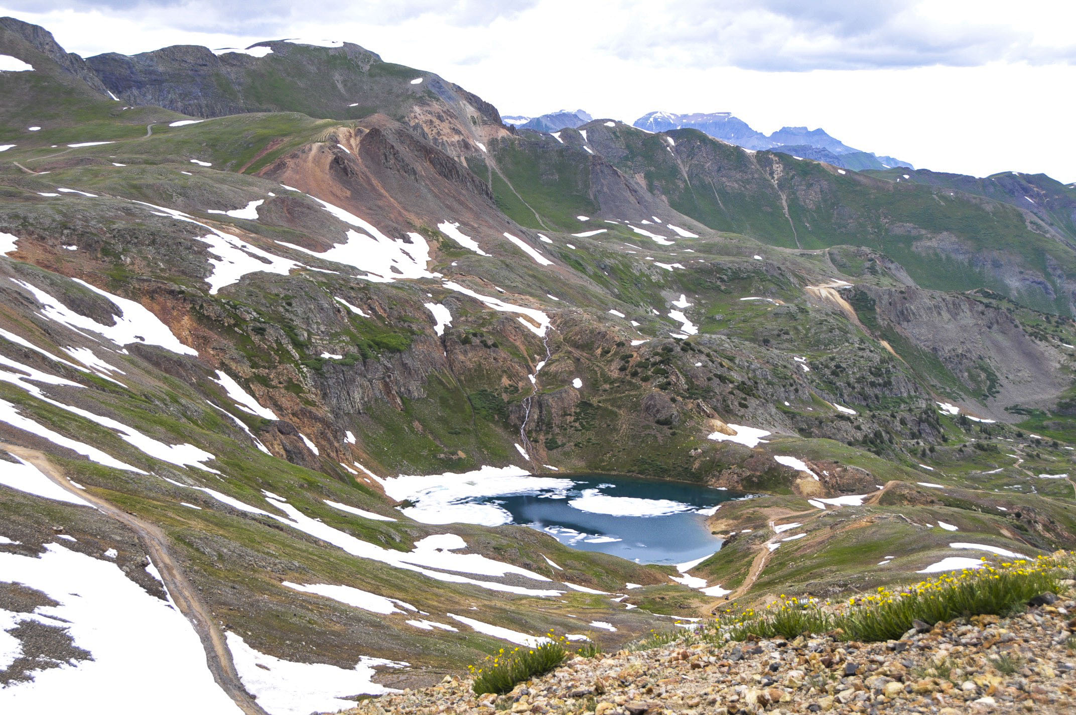
This lake is comprised of snow-melt. What temp do you suppose it is? We snapped this pic of two rarely seen polar bears swimming here. One had obviously shed his winter coat.
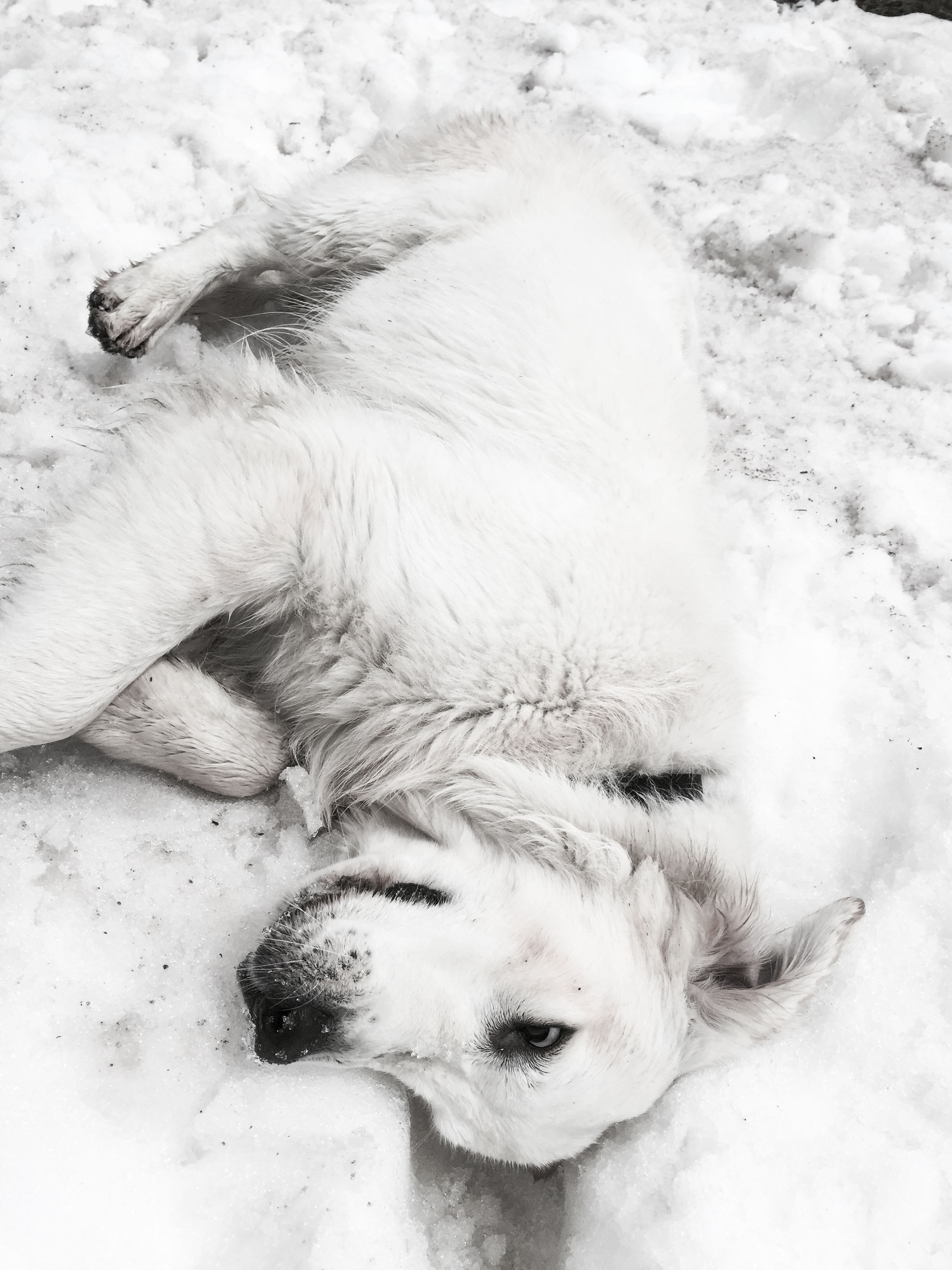
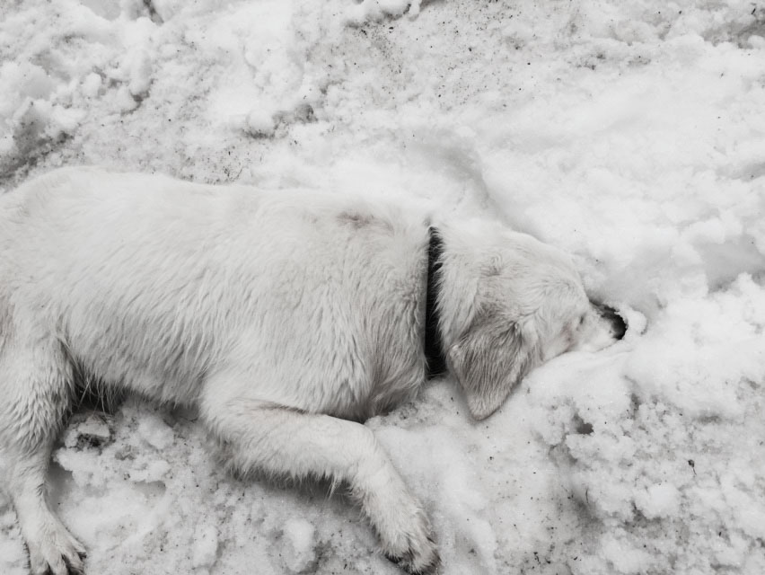
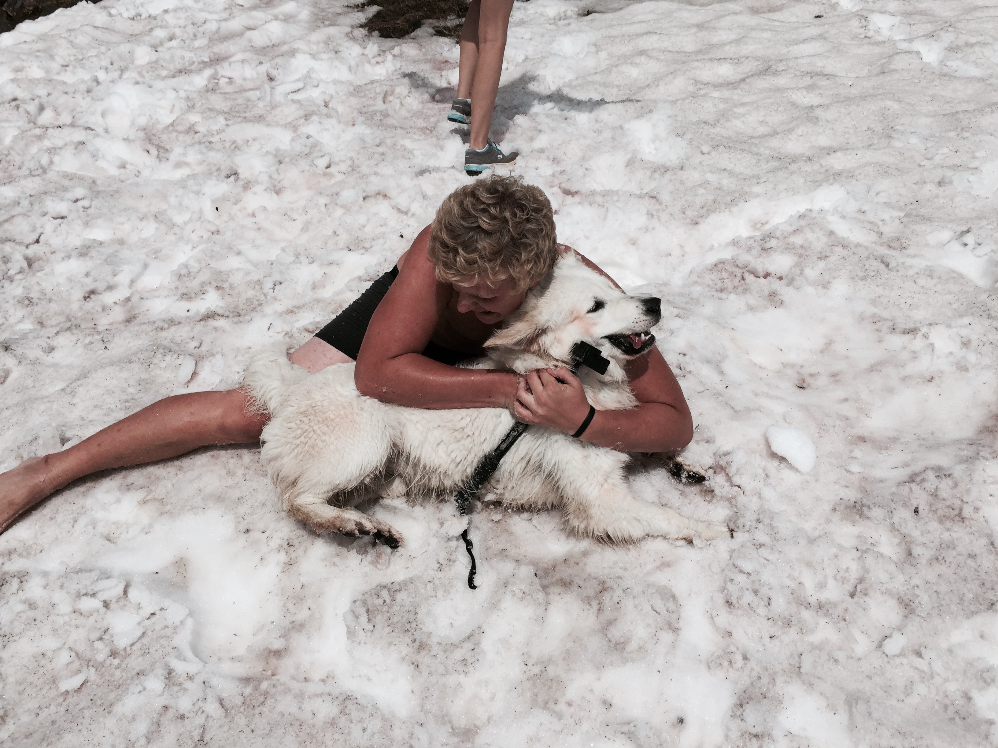
The other one, after shaking all over the fully-clothed members of the family, rolled around in the snow–obviously in pure ecstasy!
Mom may be the one who feeds, bathes, grooms, and baby-talks this furry child, but clearly a dog’s best friend is his BOY–especially one who shares his affinity for rolling in the snow. 🙂
(Below) Testing out this site for a getting some footage for Carlye & Jordan’s music video.
(shhhh . . . this is a sneak peak for you faithful blog followers.)
Animas Forks—Ghost town . . .
. . . was built to house prospectors and their families. At one point, 80 people called this home. But most of the winter, 5 feet of snow made it impossible to get out and do much. They made tunnels to get to each other’s homes, and stories abound of having to reach out the upper story windows to get snow to melt for drinking water, washing, and cooking.
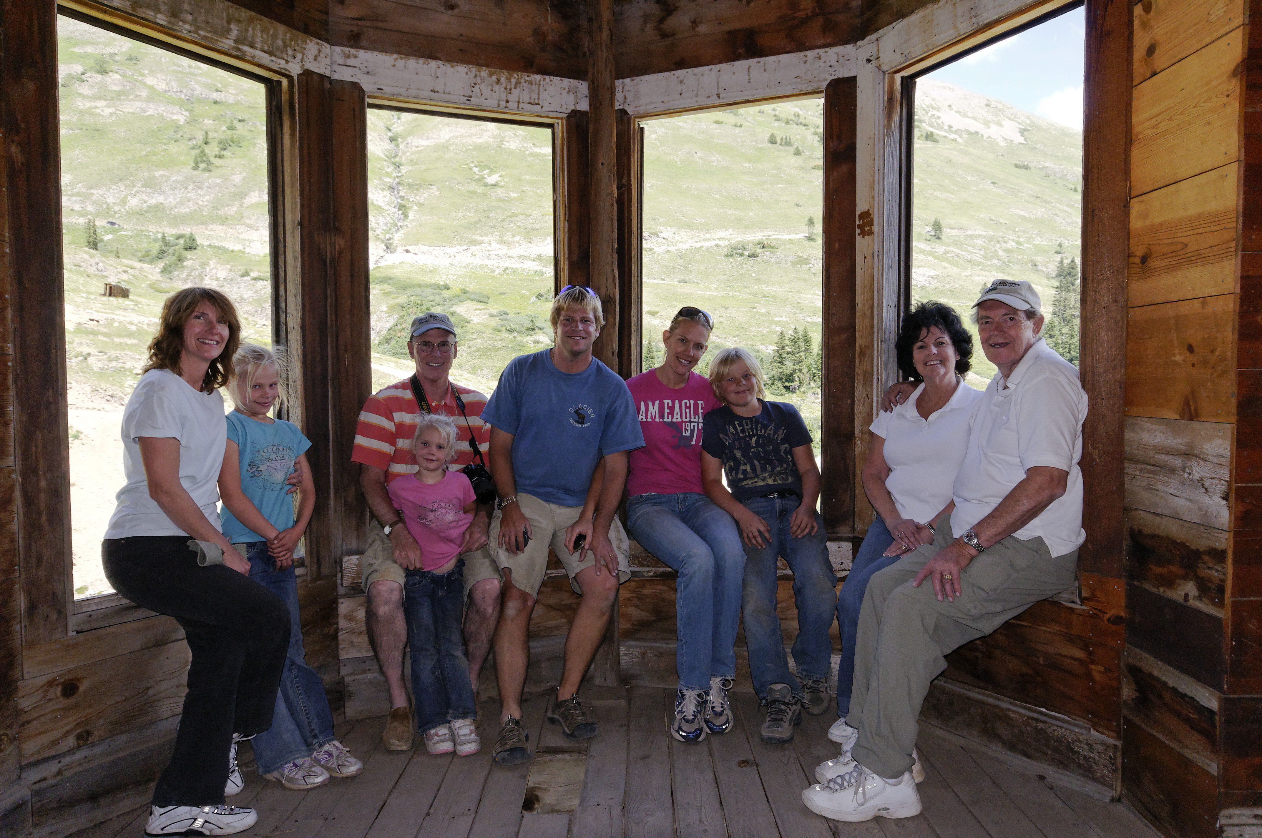
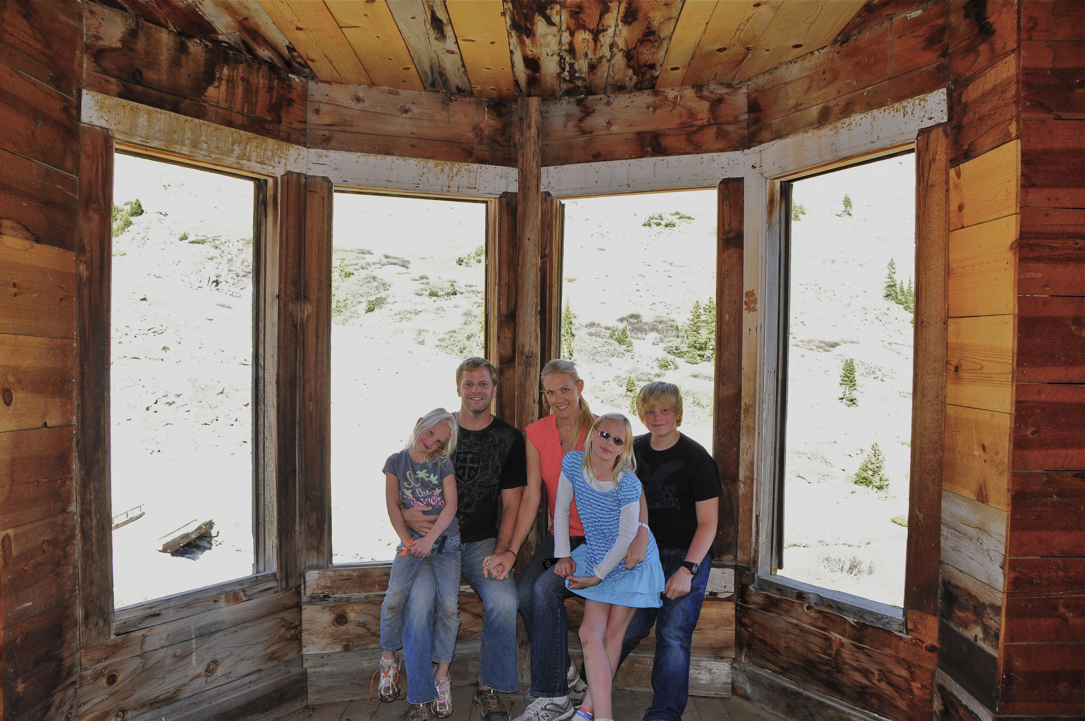
Jarred & Rochelle have been coming here since our teen years. Couldn’t locate those pics, but we dug up ones from when Jordan, Carlye, and Alyssa were little . . .
Animas Forks 2007 when Jordan was 8, Carlye 6, Alyssa 3, and their parents looked barely older than teens!
Animas Forks 2009–with Poppie & Amma, and Uncle John/Aunt Barb (Poppie’s sister)
Animas Forks 2011 (Nice shades, Carlye!)
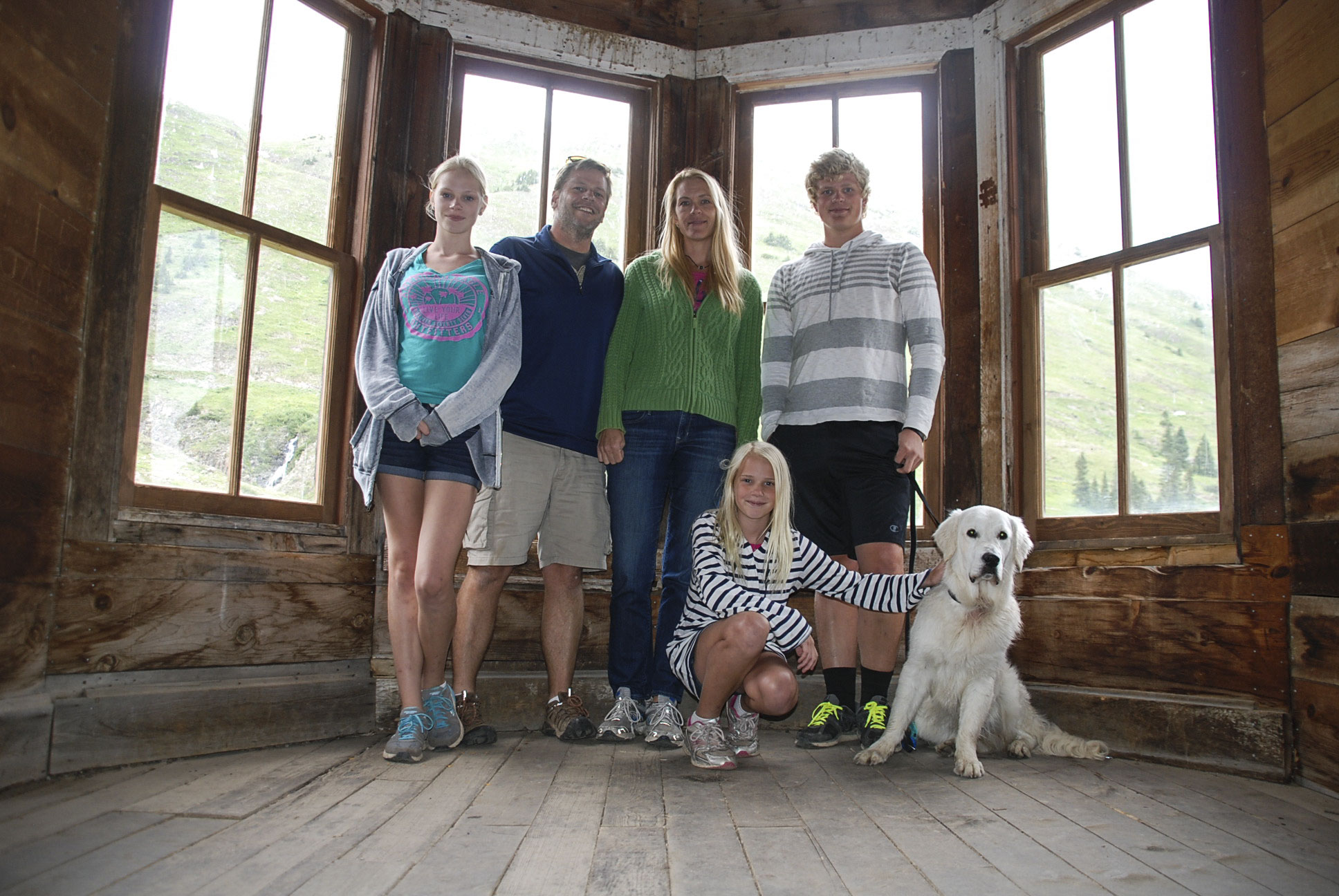
Animas Forks 2015–The old Dawson house is being “restored” which means there were no window sills to sit on because they had just put glass in windows for the first time in 25 years.
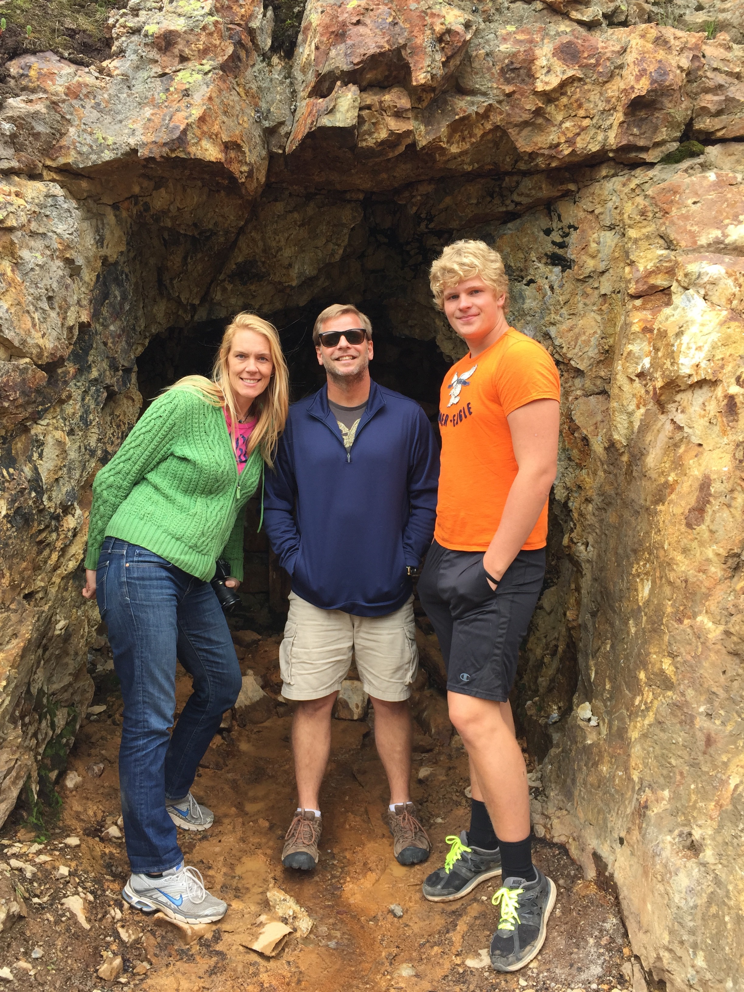
I remember spelunking into this shaft many many years ago and coming out muddy! The mining shafts have been barred and gated since we first began visiting the area. Makes it safer, but way less . . . well, exciting dangerous. (Spoken now as parent of a teen explorer.)
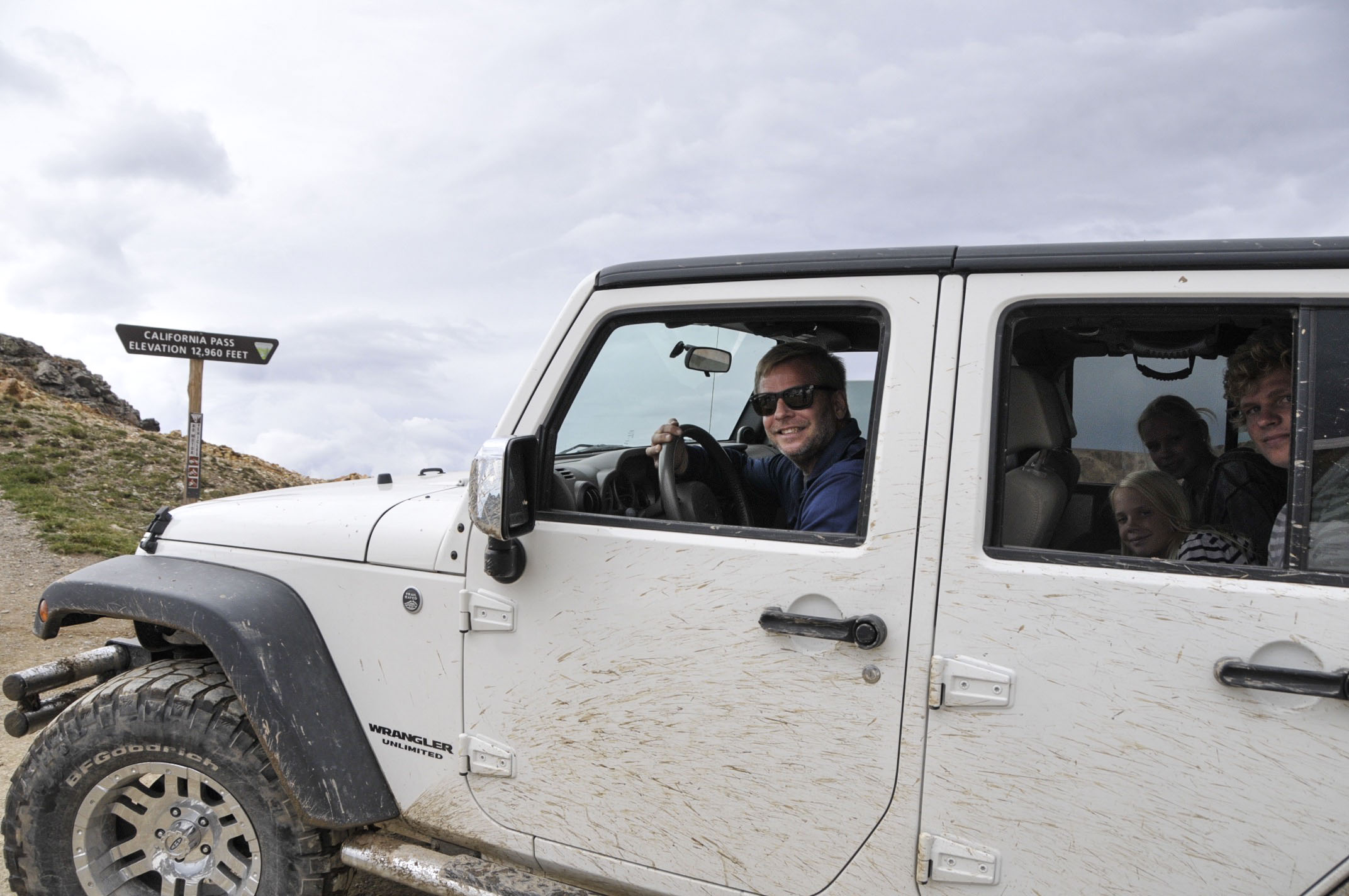
Moving on to the next breath-taking view at California Pass on our way to Hurricane Pass. The plan was to cross this pass and head down into Corkscrew Gulch . . . (FYI: these passes are very high points that cross over very high ridges leading from one valley floor to the next. It’s a bit like being on a roller coaster in slow motion!)
(above) About to cross the pass at 12, 160 feet . . .
. . . then down through California Gulch . . .
. . . up again to Hurricane Pass (below).
The very blue Lake Como, visible from Hurricane Pass, is a popular photographed site. (This is the first time I’ve ever seen it with ice & snow on it!)
Move around in the picture to get a feel for standing on Hurricane Pass
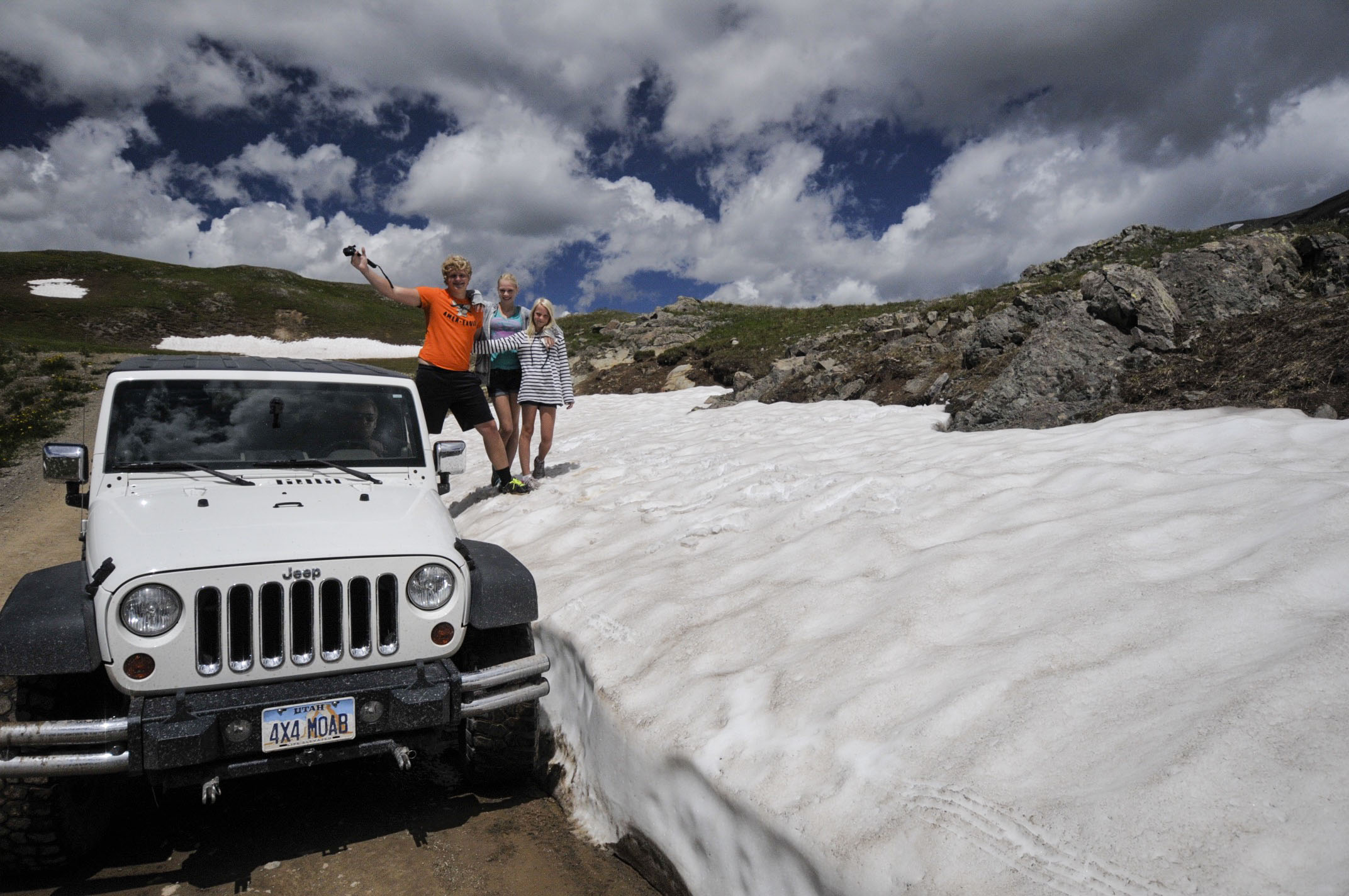
There was quite a lot of snow up here!
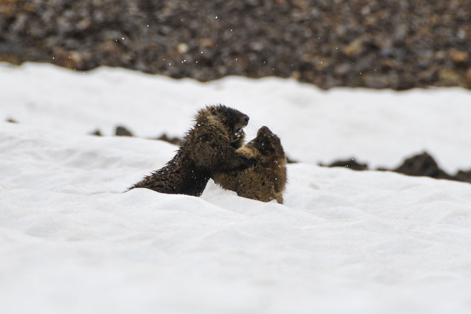
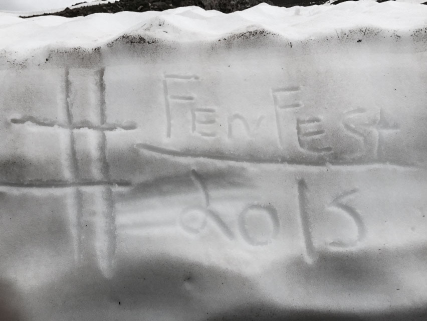
Marmot brothers fight in the snow. #FenFest2015 Making memories . . . and sharing 🙂
Day 3: A Day of Rest & Play at the Hot Springs
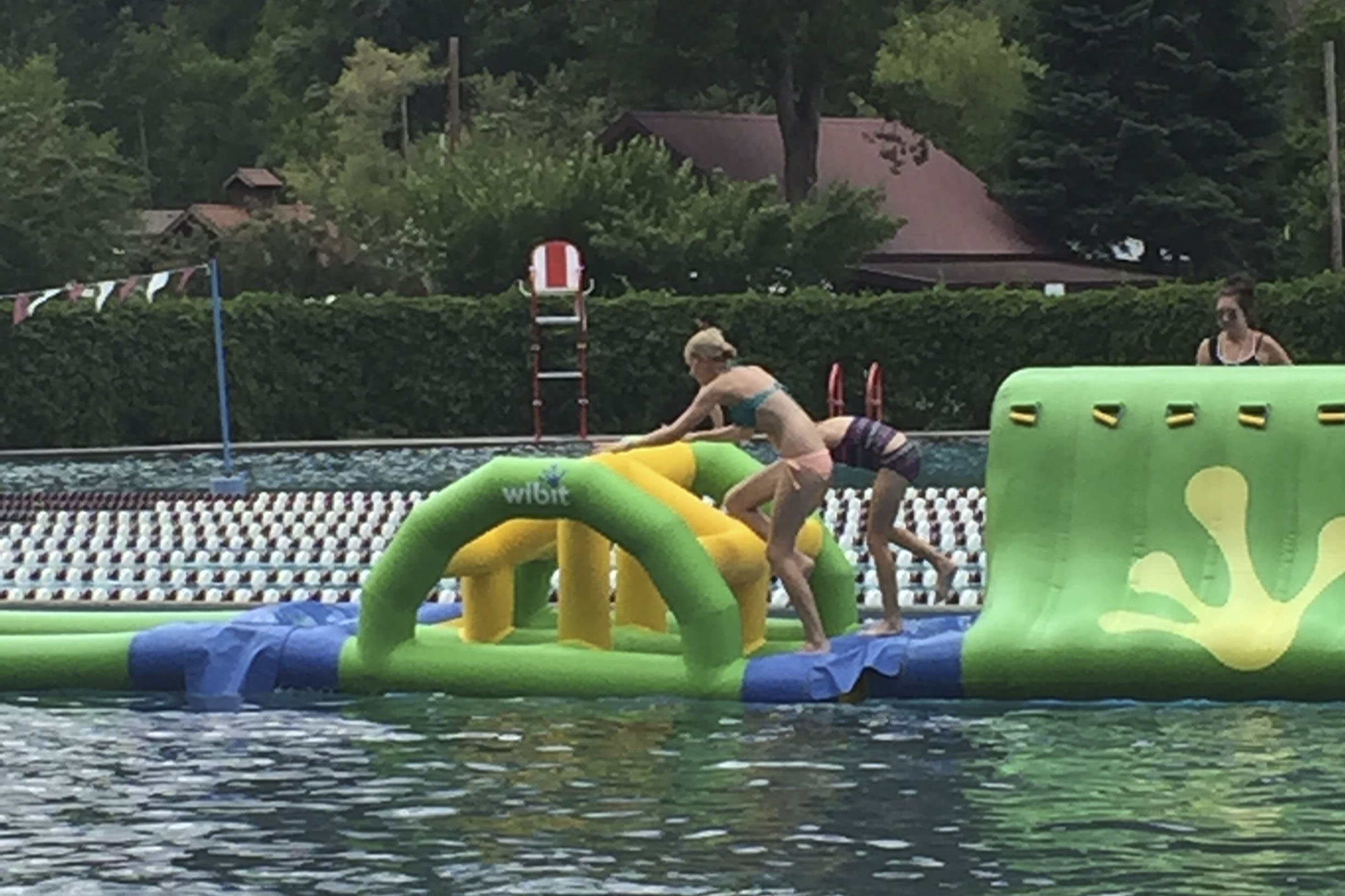
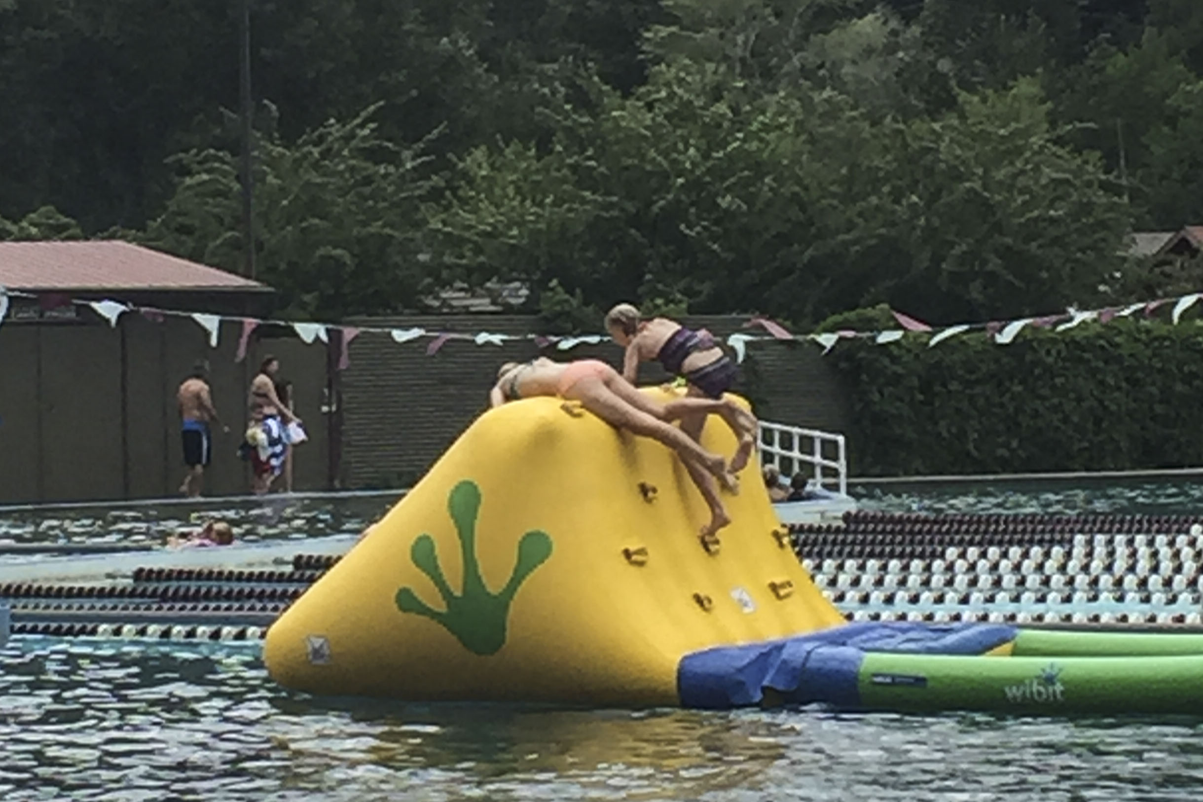
The water comes bubbling out of the ground around 130-140ºF. It’s contained now-a-days in a 3 concrete pool that are mixed with cold water to maintain 3 different temps. The cool pool–86º provides swimming laps, a twisting slide, and this cool obstacle race . . .
Carlye and Alyssa were kneck-n-kneck most of the race!
It’s open 10a.m.-10p.m. Other than 2 10-minute walks back to the RV for lunch and dinner, the kids spent the entire day here! (Mom joined them for most of it. 🙂 )
Day 4: Last Day of Jeeping to Governor’s Trail
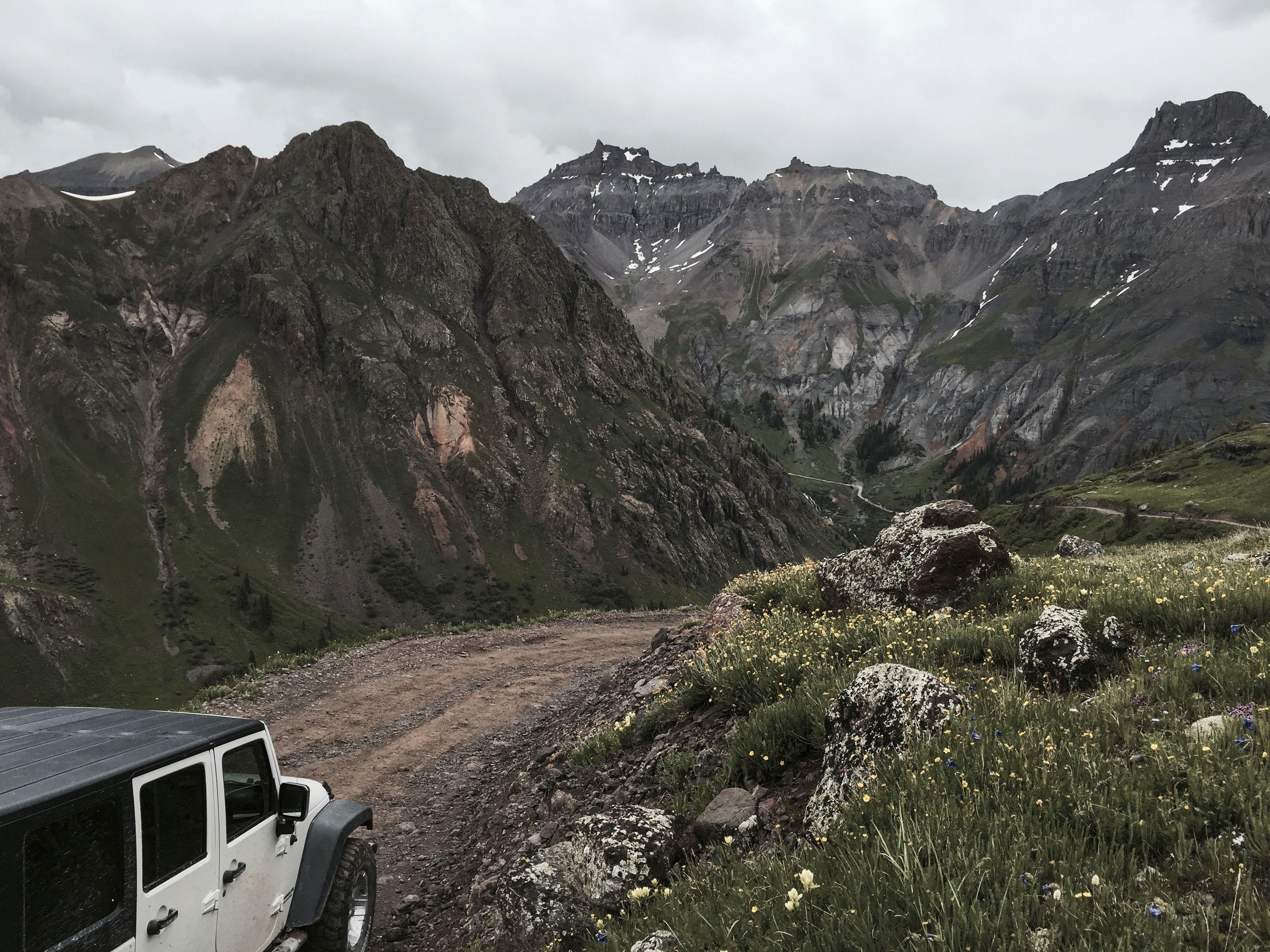
This trail, considered a “red,” is not one I have particularly enjoyed in the past because everything is so narrow and so rough! But, a re-opened mine at the top of the trail has improved the road to make way for commuters in work trucks.
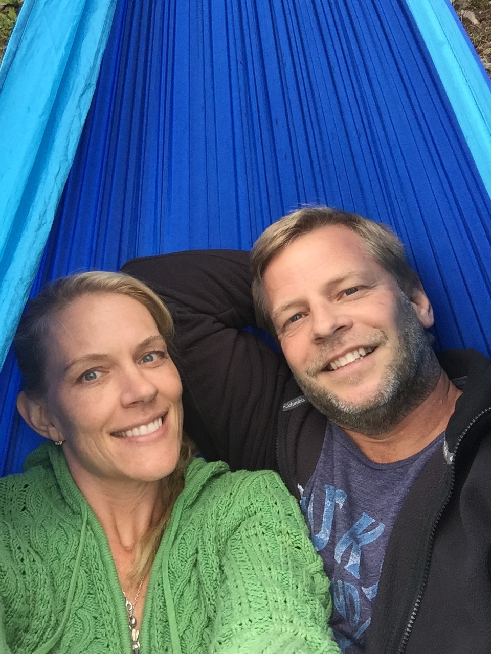
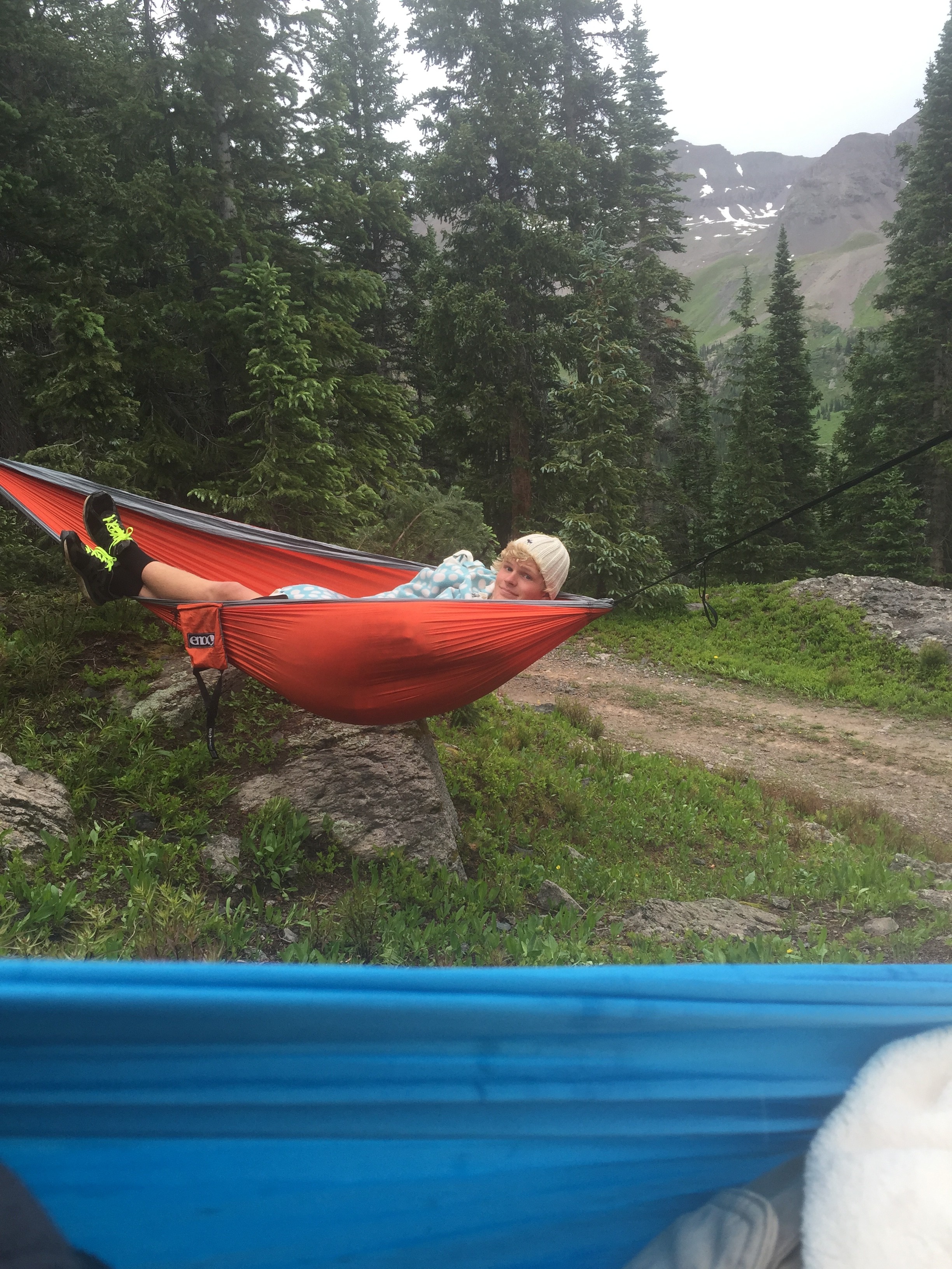
Now with our new-found-love of hammocking, there are other reasons to love this trail. It was cold and wet outside, but warm and toasty in the 2-person hammock. (We could have each set up our own, but . . . 🙂 )
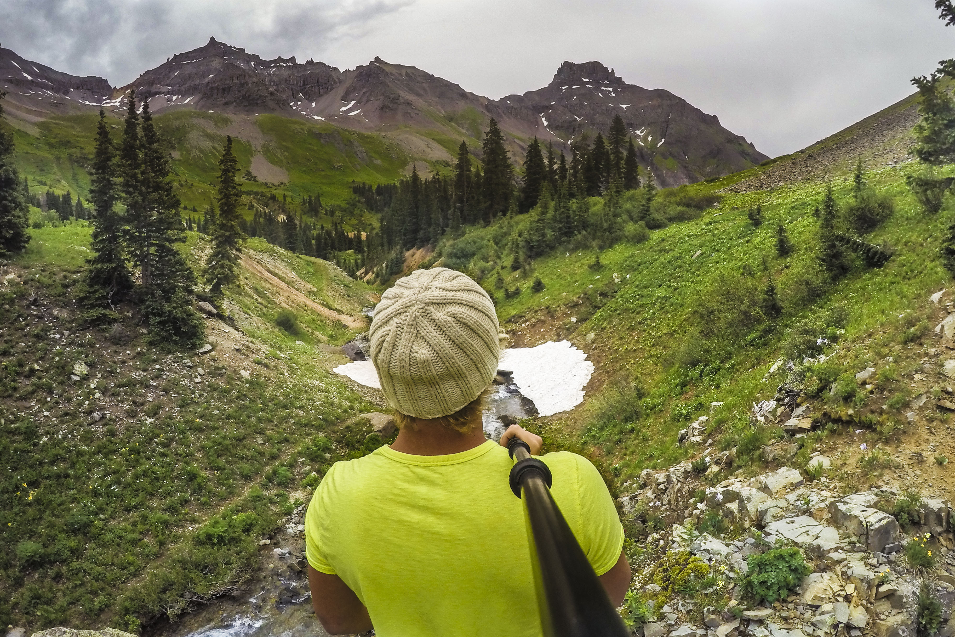
This pic is sort of iconic for our many mountain hikes. Jordan & his selfie stick GoRad pole document the landscape and paths of those who dare to discover it’s secrets.
Move around in the pic to get a feel for the view from Governor Trail and the distant Yankee Boy Basin/Twin Waterfalls.
